Jacksonville, FL – Thunderstorms will continue to impact Jacksonville through Monday, bringing repeated rounds of heavy rain, gusty winds, and possible street flooding across Duval County and surrounding areas. Travel plans, weekend events, and daily commutes could all be affected as storm chances rise to 80-90% through early next week.
According to the National Weather Service, the storm risk increases each afternoon, with the most intense periods expected after 2 p.m. Friday, continuing through the weekend. Rainfall will be especially heavy at times, making local streets, highways, and low-lying areas prone to flooding. Gusty winds up to 21 mph and frequent lightning will complicate outdoor plans and create hazards for boaters and those heading to area beaches.
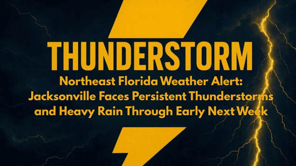
🌧️ What to Expect: Heavy Rain and Storms
Friday: Showers and thunderstorms are likely after 1 p.m., with heavy rainfall and gusty winds expected. High of 88°F, low of 75°F.
Saturday: Thunderstorms likely, especially after 2 p.m.. Expect heavy rain and frequent lightning. High of 86°F, low of 76°F.
Sunday: More showers and storms after 2 p.m., with the same risks of flooding and gusty winds. High of 87°F, low of 76°F.
Monday: Showers and thunderstorms likely, mainly after 2 p.m., with the risk of flash flooding continuing. High of 89°F, low of 77°F.
Tuesday: Showers possible, but the pattern will ease with a decrease through the day. High of 91°F, low of 77°F.
🌊 Flooding and Travel Hazards
As heavy rain falls throughout the weekend, street flooding remains a concern, especially in low-lying areas. Travelers should avoid driving through flooded streets and should stay alert for rapidly changing conditions, particularly between Friday afternoon and Monday night. Flash flooding is a concern in the city’s usual trouble spots, and power outages could also occur due to the intense weather.
⚠️ Outdoor Activities and Sports
Outdoor events and sports could face disruptions, with organizers urged to monitor the sky and official warnings. Be prepared to move activities indoors or reschedule if storms persist.
📝 Final Thoughts
The weather pattern will ease slightly by Tuesday, but pop-up showers are still possible. Stay weather-aware, keep your devices charged for any power outages, and be prepared for continued thunderstorms and heavy rain through the weekend. Check for updates, as advisories may be extended if conditions worsen or rainfall totals increase.


