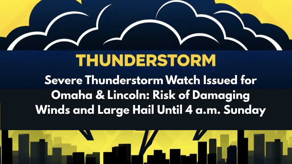
Omaha, Neb. – A Severe Thunderstorm Watch has been issued for much of eastern and south-central Nebraska, including Omaha and Lincoln, as severe storms are expected to sweep through the region tonight. The watch, which remains in effect until 4 a.m. Sunday, covers 33 counties, including Douglas, Lancaster, Sarpy, and Buffalo. The National Weather Service (NWS) warns that these storms could produce damaging winds exceeding 70 mph and hail up to two inches in diameter.
The NWS Storm Prediction Center in Norman, Oklahoma, reports that the watch includes both urban centers like Omaha and Lincoln, as well as rural areas stretching from Adams County eastward to Richardson County. Storms will continue to develop and move east overnight, with the greatest risk of damaging wind gusts occurring between midnight and 3 a.m.
Residents in the affected areas are being urged to take immediate precautions. It is important to secure outdoor items, keep mobile devices charged, and remain indoors away from windows during severe weather. Travel may become hazardous, especially along major highways such as I-80, U.S. 77, and U.S. 6, where reduced visibility and flying debris are expected.
The Severe Thunderstorm Watch will remain in effect until early Sunday morning, but residents should stay alert, as additional warnings may be issued if storms intensify or shift toward the Iowa border. The National Weather Service will continue to monitor the situation and provide updates as necessary.


