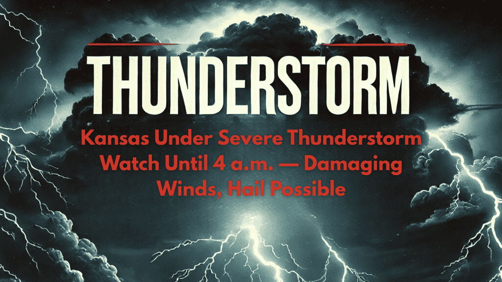
Manhattan, Kan. – A Severe Thunderstorm Watch has been issued for much of western, central, and northern Kansas, lasting until 4 a.m. Sunday. The National Weather Service (NWS) warns that storms could rapidly develop overnight, bringing damaging winds in excess of 60 mph and hail as large as quarter size, potentially impacting travel and utility services.
The NWS Storm Prediction Center has placed 33 counties under the watch, including Riley, Pottawatomie, Ellis, Finney, and Nemaha. Cities like Manhattan, Hays, Concordia, and Garden City should prepare for sudden downpours, lightning, and possible power outages. Drivers along major routes such as I-70, U.S. 36, and other highways could face reduced visibility and debris on the road.
The Kansas Highway Patrol advises residents to avoid unnecessary travel during the storm’s most intense periods and to secure outdoor items that could be picked up by strong winds. It’s also recommended to keep phones charged and have flashlights available in case of power interruptions.
The Severe Thunderstorm Watch will remain in effect through early Sunday morning, and residents are encouraged to stay alert. Additional warnings may be issued if the storm’s intensity increases, particularly as it moves across the state.


