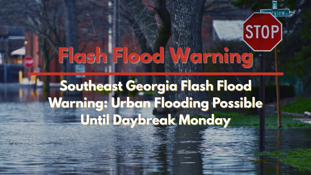
Savannah, GA — A flash flood warning has been issued for Southeast Georgia, including Chatham County, Georgia, and Jasper County, South Carolina, as heavy thunderstorms continue to bring torrential rain to the region. The National Weather Service has warned that the intense rainfall could lead to dangerous flooding, with up to 3 inches of rain expected to fall within a matter of hours. This flash flood warning will remain in effect until 4 a.m. Monday.
Radar data shows that the most intense rainfall is currently located just offshore and is rapidly moving inland. Areas from Downtown Savannah to Pooler, Tybee Island, and Bluffton are likely to experience rapid water accumulation on streets, underpasses, and other low-lying areas. The downpours may cause significant disruptions, especially on major highways like Interstates 16, 95, and 516, where lane closures or delays could occur if water overtakes the roadways.
Residents are strongly advised to avoid traveling overnight, as flooded roads can be especially difficult to spot in the dark. Emergency officials caution that most flood-related fatalities occur in vehicles, urging drivers to “turn around, don’t drown” when encountering flooded roadways. The danger of driving through high water is significant, as it is often impossible to determine the depth and strength of the current.
Rain is expected to ease toward daybreak, but additional showers may continue to keep water levels elevated into the morning commute. Drivers and residents should remain vigilant and monitor local weather updates for any changes in conditions.
As the storm system moves through, safety remains a top priority. Residents are encouraged to stay informed and take precautions to protect themselves from the risks of flash flooding and hazardous road conditions.


