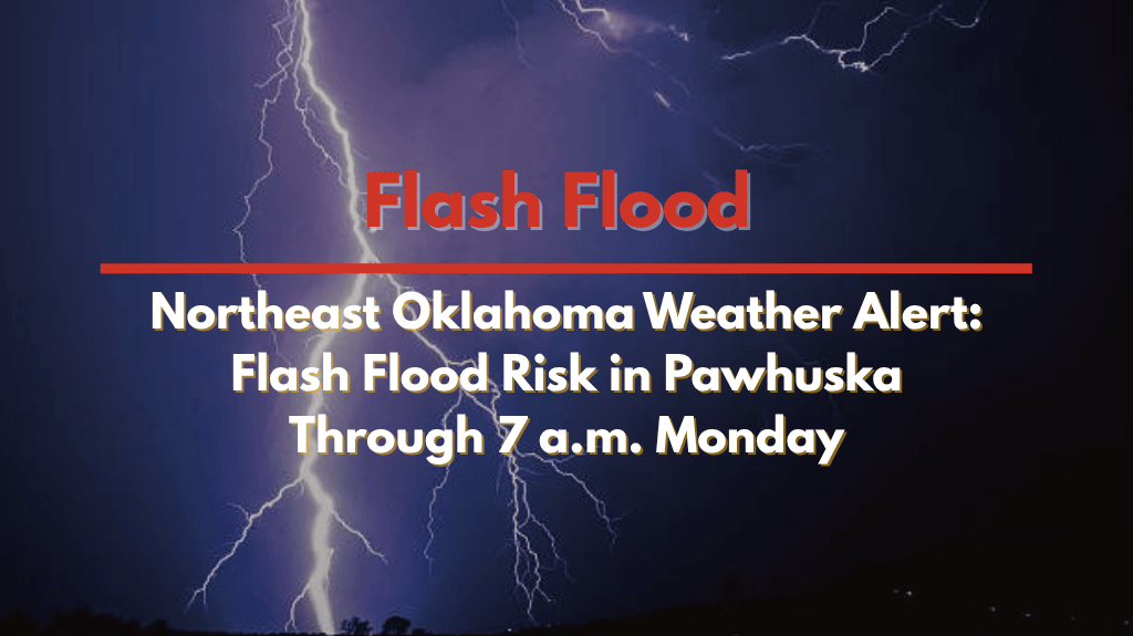
Tulsa, OK — A significant weather alert has been issued for Pawhuska and surrounding areas in Northeast Oklahoma, where slow-moving thunderstorms are causing heavy rain and increasing the risk of flash flooding. The National Weather Service (NWS) has issued a Flood Watch through 7 a.m. Monday, with heavy rainfall expected to continue into the early morning hours.
Flash Flooding Risk in Osage County
The NWS reports that repeated rounds of rainfall are creating excessive runoff, which could quickly overwhelm creeks, streams, and drainage systems. Areas in Osage County, particularly low-lying and flood-prone regions, are at high risk for flash flooding.
Residents of Pawhuska and nearby communities are urged to stay vigilant and avoid traveling on flooded roadways, as water levels can rise rapidly and become dangerous. The NWS warns that water may accumulate quickly, potentially leading to hazardous conditions overnight.
Extended Flood Watch for Central and Southeast Kansas
As the storms move north, the NWS in Wichita has extended a Flood Watch for much of central, south-central, and southeast Kansas. This includes major cities such as Wichita, Salina, Hutchinson, El Dorado, and Arkansas City, along with several counties like Chase, Marion, Sedgwick, Cowley, and Montgomery.
Preparedness and Safety Tips
Residents in affected areas are encouraged to:
Keep cell phones charged in case of emergency alerts.
Stay tuned to local weather updates and flood warnings.
Be ready to move to higher ground if necessary.
Avoid walking or driving through floodwaters, as even a few inches can sweep away vehicles and create life-threatening conditions.
The Flood Watch remains in effect until 7 a.m. Monday, but additional warnings may be issued if rainfall intensifies overnight.
Stay alert, stay safe, and be prepared for changing conditions as these storms continue to impact the region.


