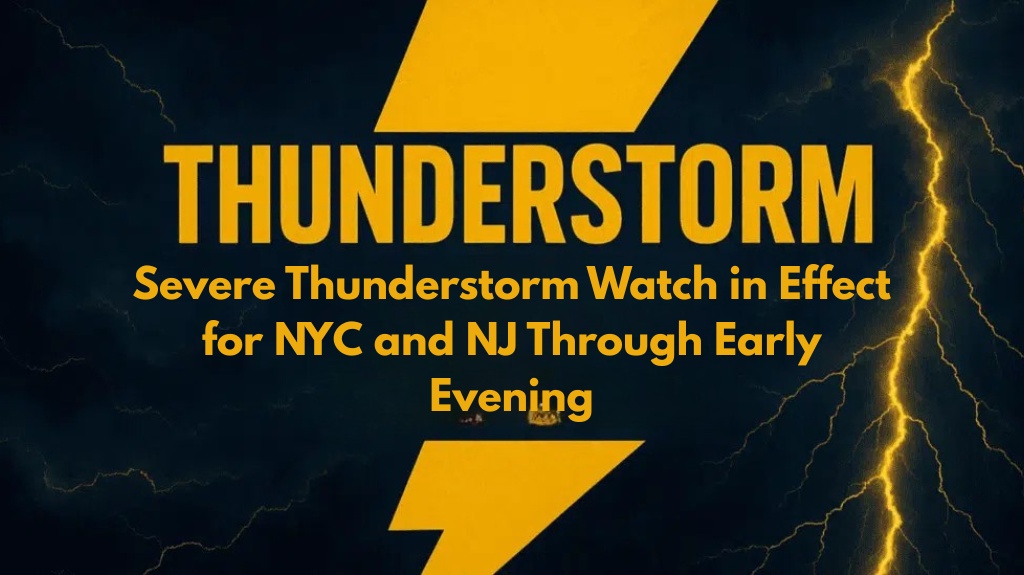
New York, NY – A dangerous line of severe thunderstorms is currently impacting parts of New York City and northeastern New Jersey this evening, bringing the potential for hazardous conditions including wind gusts up to 60 mph, the possibility of downed trees, and power outages. The storm is moving eastward at 25 mph and could affect densely populated areas in the region.
Severe Thunderstorm Warning Issued
According to the National Weather Service in Upton, a Severe Thunderstorm Warning is in effect until 7:15 p.m. for the following areas:
Hudson and Union counties in New Jersey
Kings (Brooklyn) and New York (Manhattan) counties in New York
Radar data indicated that the storm was located over Bayonne at 6:39 p.m., tracking toward Jersey City and Manhattan’s Lower East Side by 6:45 p.m.
Primary Hazards: Damaging Winds and Power Outages
The primary danger from this storm is damaging straight-line winds capable of causing significant damage, such as:
Snapping branches
Toppling trees
Bringing down utility lines
These winds, which could reach speeds of up to 60 mph, pose an immediate risk of power outages in the affected areas.
Safety Precautions
Residents are urged to take immediate precautions by:
Staying indoors and away from windows
Avoiding travel until the storm passes
Securing outdoor objects to prevent them from becoming airborne and potentially causing further damage
Potential for Additional Severe Weather
Officials have warned that the threat of severe weather could continue into the evening, as unstable air lingers over the region. This could bring additional storms, and residents should remain alert for further advisories as the situation develops.
Stay tuned for updates and remain prepared for rapidly changing weather conditions.


