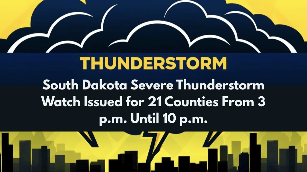
Pierre, SD – The National Weather Service has issued Severe Thunderstorm Watch 588 for much of South Dakota, warning residents of potentially dangerous storms expected to develop Wednesday afternoon and continue through the evening. The watch is in effect until 10 p.m. MDT.
Severe Thunderstorm Watch Issued for Multiple Counties
The Storm Prediction Center in Norman, Oklahoma, has issued the watch for the following counties in South Dakota:
Bennett
Brule
Butte
Charles Mix
Custer
Fall River
Gregory
Haakon
Hughes
Jackson
Jones
Lawrence
Lyman
Meade
Mellette
Oglala Lakota
Pennington
Stanley
Todd
Tripp
Ziebach
Meteorologists warn that severe storms may bring damaging wind gusts over 60 mph, large hail, and frequent lightning. These conditions are expected to pose significant hazards across the region.
Potential for Isolated Tornadoes and Other Hazards
While the primary threats are strong winds and hail, isolated tornadoes are also a possibility. The unstable air mass over South Dakota, combined with a passing cold front, will fuel the severe weather risk through the evening hours.
Safety Precautions and Recommendations
Residents in the watch area should take the following precautions:
Monitor local forecasts and stay alert for potential warnings
Have multiple ways to receive weather alerts, including weather radios or mobile apps
Be prepared to take shelter if warnings are issued
Reconsider outdoor plans, especially in rural areas, until the storms have passed
Traveling Conditions and Caution for Drivers
Drivers are advised to use caution as:
Heavy rain could reduce visibility and cause water pooling on roadways, making driving hazardous
Travelers in open areas should remain alert to rapidly changing weather conditions
Storms Expected to Weaken Overnight
The threat of severe weather should begin to diminish late tonight as storms weaken and move east. However, scattered showers may continue into the overnight hours.
Stay informed and be prepared to take action if the weather worsens.


