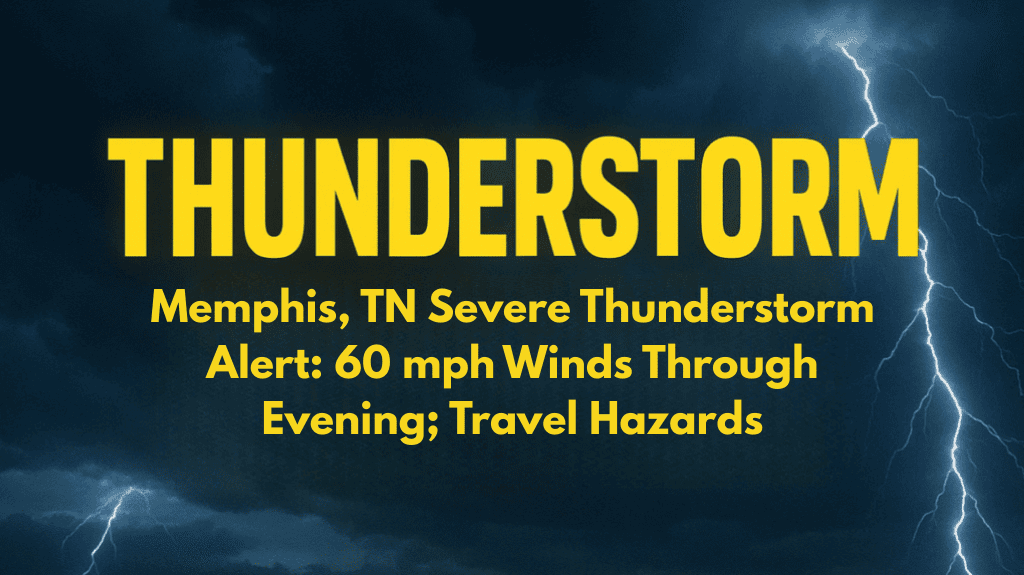
Memphis and surrounding areas in the Mid-South are bracing for intense weather this afternoon, as severe thunderstorms threaten to bring strong winds, lightning, and dangerous travel conditions. The National Weather Service has issued an alert warning of wind gusts up to 60 mph, along with the risk of downbursts and flash flooding in some areas.
Storms Building Across the Region
Thunderstorms began forming shortly after 1:30 p.m. CDT across parts of northeast Arkansas and north Mississippi. Areas such as Batesville, Newport, and Grenada are currently experiencing some of the strongest activity, with new storms expected to develop throughout the afternoon.
These storms are being fueled by typical late-summer heat and moisture, creating unstable air that leads to sudden, intense weather. While this is common for August, it still brings real risks—especially when wind gusts and lightning become widespread.
High Winds and Downbursts Are Key Threats
The biggest concern right now is the potential for 60 mph wind gusts and downbursts—quick, strong bursts of wind that can knock down trees, break branches, and even damage roofs or power lines.
Areas along Interstate 40, especially near Jonesboro, Forrest City, and eastern Shelby County, should be on alert. Sudden wind shifts could create hazardous driving conditions, particularly for high-profile vehicles.
Visibility may also drop quickly in heavy rain or blowing dust, making travel even more dangerous during the afternoon and evening commute.
Travel and Outdoor Safety Tips
If you live or are traveling in the Memphis area this evening, here are a few important precautions to keep in mind:
Delay non-essential travel if possible until storms pass
Secure any loose outdoor items such as furniture, grills, or trash bins
Avoid flooded roads, even if the water looks shallow
Move indoors immediately if you hear thunder — lightning can strike far from a storm
Keep an eye on local news and weather alerts for updates
These storms are expected to impact the region through the early evening, with possible lingering activity into the night.
Evening Commute Could Be Affected
The timing of these storms could lead to delays on the roads during the evening commute. Flash flooding on low-lying roads, fallen branches, and poor visibility are all potential hazards.
Emergency officials are asking people to stay weather-aware and not to take risks with flooded streets or strong wind conditions. Even short trips can turn dangerous when severe weather hits suddenly.
More Storms Possible Tonight
While the current focus is on this afternoon’s severe activity, the storm threat isn’t over yet. More thunderstorms may continue into the night, with updated forecasts expected later this evening. It’s a good idea to keep weather alerts on your phone and be ready for possible warnings overnight.


