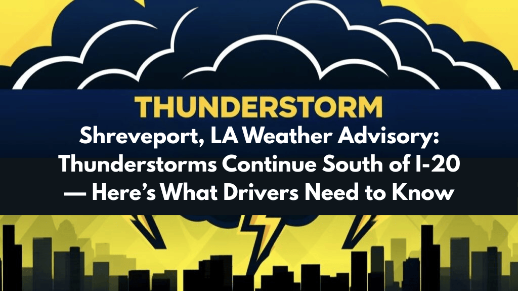
Shreveport, Louisiana – Rain and muggy heat will continue into the night across the ArkLaTex region, with scattered thunderstorms expected to hit areas south of the I-20 corridor until early Thursday morning.
According to the National Weather Service in Shreveport, low temperatures will remain unusually warm, in the low to mid-70s, with rain chances ranging from 30-45% in areas such as Lufkin, Natchitoches, and Ruston. Thunderstorms may continue until midnight, bringing lightning, strong winds, and brief heavy rain.
Cities such as Shreveport, Minden, and Center may see the most consistent rain activity, while areas north of I-20 may see fewer thunderstorms. The mugginess is expected to be uncomfortable overnight, especially for those without adequate cooling.
Motorists on I-20 and connecting state highways should exercise caution, especially during isolated downpours. In case storms worsen, the National Weather Service recommends securing outdoor items and keeping an eye out for local alerts.
This is the second consecutive muggy night for the region, and no major cold front is expected this week. Rain chances decrease by morning, but isolated showers may return Thursday afternoon.


