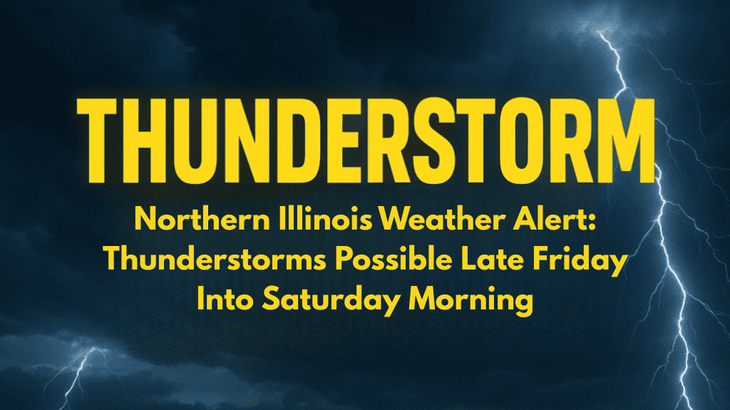
Chicago, Illinois – Northern Illinois residents should brace themselves for unsettled weather Friday night, as showers and possible thunderstorms move through the area, bringing a brief but noticeable change before cooler, breezy conditions arrive for the weekend.
According to the National Weather Service in Chicago, the majority of Thursday and Friday will be dry with highs in the low to mid-80s, but the risk of storms increases late Friday evening, particularly north of Interstate 80.
Forecasters warn that localized downpours and lightning are possible, which could disrupt late-night travel and outdoor activities.
Areas near Lake Michigan will experience slightly cooler temperatures Thursday due to lake breezes, but swimmers should exercise caution as dangerous currents remain a concern along the shoreline tonight.
By Saturday, scattered showers and storms may linger in the morning, with skies gradually clearing in the afternoon. Highs will range from the upper 70s to the low 80s.
Sunday looks drier and breezier, with highs in the low 70s, providing more comfortable weather and lower humidity. The National Weather Service reports that the overall pattern for next week favors cooler, sunnier weather with fewer storm chances.
Residents planning weekend trips should keep an eye on weather updates, particularly Friday night and Saturday morning, when storms are most likely.
Five Day Forecast for Chicago, Illinois
Thursday: Mostly sunny, cooler near Lake Michigan. High 78–82, low 57–66.
Friday: Partly sunny, storms possible late north of I-80. High 81–84, low 62–68.
Saturday: Showers and thunderstorms possible early, clearing late. High 79–82, low 53–61.
Sunday: Breezy with sunshine. High 69–75, low 49–56.
Monday: Sunny, cooler and less humid. Highs in the low 70s.


