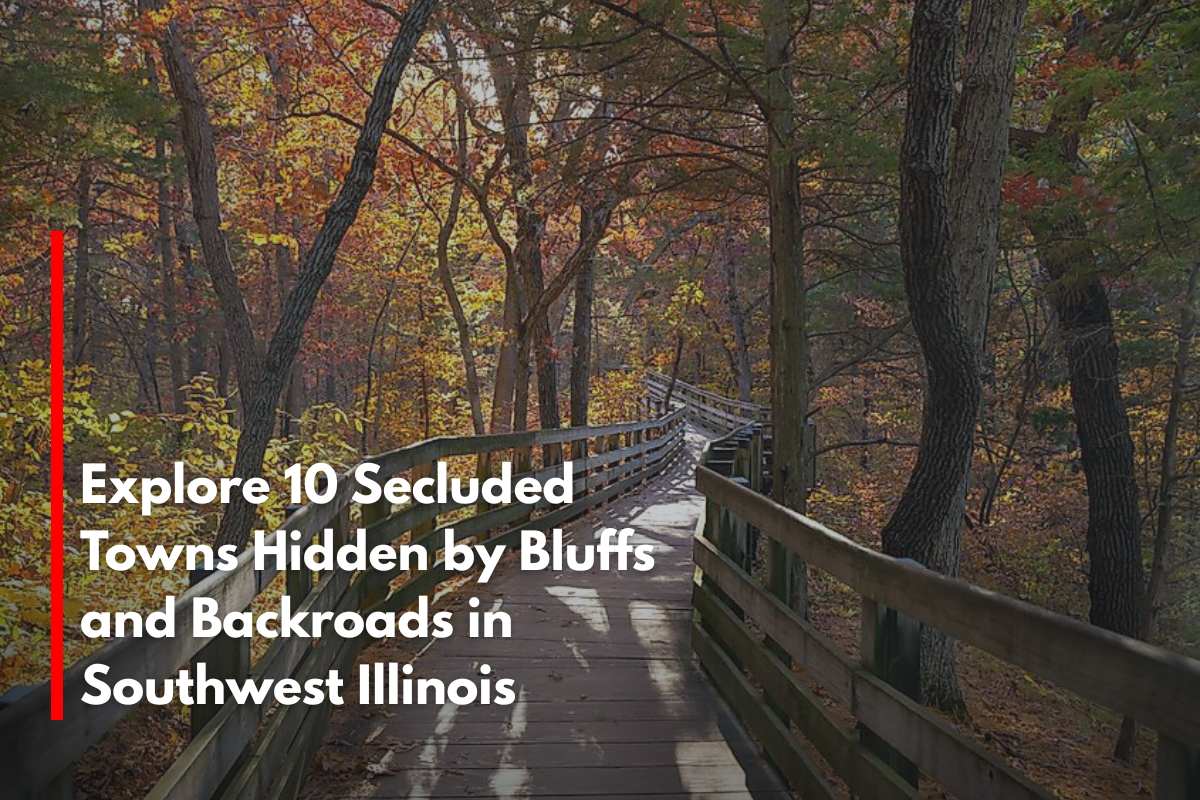
Southwest Illinois is better known for rich river soil and sleepy cornfields than for bright city lights, but tucked among its ridges and bottomlands are villages where silence reigns supreme in the evening.
We gathered ten of the most remote towns in this part of the state, where gravel crunching under tires is frequently the loudest rush-hour noise and neighbors live miles apart.
Each settlement has its own unique flavor of quiet, from cliff-top eagle lookouts to orchard-lined ridges that smell like apple blossoms in the spring. These hamlets remain hidden due to small populations, limited through-roads, and landscape barriers.
Instead of chain stores and traffic lights, visitors can find hiking trails, ferry rides, and historic taverns. Those looking for genuine breathing room will find plenty of it in the Mississippi, Illinois, and Kaskaskia river valleys.
1. Walsh – Quiet Ridge Above the Kaskaskia River Valley
Walsh estimates that approximately 350 people live in Randolph County, spread out across elevated pastureland bordered by wooded creeks. The days revolve around trail rides at Pyramid State Recreation Area, garden swaps at the community hall, and bluegrass jams on front porches.
Cattle ranching and grain farming dominate the landscape, with a few people commuting to Chester’s small industries, 15 miles south. Walsh, located on a ridge above the Kaskaskia River, avoids flood traffic and benefits from constant valley breezes that carry sound away.
With no traffic lights, a single convenience store, and expansive sky views, car horns are practically non-existent. Even the Fourth of July fireworks from nearby towns appear as distant glitter on the horizon.
Where is Walsh?
The settlement lies five miles north of Illinois Route 150, accessible by a pair of county ridgeline roads that roll past shale outcrops and cattle ponds. Creek bottoms on three sides funnel through-traffic elsewhere, leaving the ridge to locals and farm equipment.
Visitors usually exit Interstate 57 at Sparta and meander 25 miles of two-lane blacktop before noticing the “Walsh” sign nailed to a sycamore. That final stretch over narrow timber bridges reminds travelers they’ve left the busy world behind.
2. Medora – Jersey County’s Wide-Lot Prairie Pocket
Medora is home to approximately 400 people who live along unusually wide, tree-lined streets laid out in 1857. Exploring Beaver Creek Conservation Area, browsing the shelves of the volunteer-run Carnegie Library, and attending Friday night baseball games at Southwestern High School are all popular activities.
The majority of paychecks come from agriculture and school districts; there is no factory whistle or rail spur to disturb the peace. Fields stretch to every horizon, and the nearest sizable town, Jerseyville, is 20 miles east, leaving Medora free of suburban sprawl.
Large lots (many of which are two acres or larger) provide more space between neighbors. Even during the harvest, combine traffic is brief and consistent.
Where is Medora?
The village rests along Illinois Route 111 in the prairie flats of southwestern Jersey County. Though the state route offers a straight shot, it carries light traffic thanks to faster highways that bypass the area.
Lambert Airport sits an hour away, and no rail line cuts through, so most travelers arrive by two-lane road. Flat cropland in every direction serves as an open buffer against urban reach.
3. Foster Pond – One-Intersection Community on the Old Plank Road
Foster Pond has approximately 60 residents and is anchored by a stone church built in 1849 and a tavern known for its Friday fish fries. Locals hike the 535-acre Salt Lick Point Land and Water Reserve or cycle the old Plank Road, which was once a stagecoach route connecting St. Louis to Harrisonville’s salt works.
Grain farming and weekend tourism from nearby Waterloo generate a modest income. Dense oak woods, sweeping cornfields, and a ten-mile drive to the nearest grocery store ensure a stillness punctuated primarily by church bells.
Even the mail routes are rural, with boxes clustered at crossroads rather than each driveway. Nights reveal whip-poor-wills singing from fence lines beneath dark skies.
Where is Foster Pond?
The hamlet is located in eastern Monroe County, eight miles south of Waterloo on Bluff Road. There is no state highway passing through; instead, a pair of county lanes intersect at the church and then fade into farmland.
Visitors leaving Interstate 255 must travel for fifteen minutes along levee dikes before the horizon is swallowed up by trees. The lack of direct routes ensures Foster Pond’s privacy.
4. Hamburg – Mississippi Overlook with More Eagles than People
Hamburg houses approximately 100 people on a high bluff terrace overlooking a sleepy riverside landing. Winter brings clouds of migratory bald eagles to perch on cottonwoods outside living-room windows, while summer means sitting on the porch with binoculars trained on passing tows.
Small-plot orchards, river fishing guides, and a co-op grain elevator provide limited employment. Homes line a single bluff-top street, with a switchback lane providing the only link to the boat ramp below; truckers take easier routes, leaving Hamburg quiet.
Storms roll up the valley in full cinematic view, but thunder is often the most audible disturbance. Nightlife consists of the tavern’s jukebox and the occasional owl call.
Where is Hamburg?
The village sits on the western edge of Calhoun County, 25 miles northwest of Grafton. To get there, drivers cross the Illinois River at Brussels Ferry and take the Great River Road before ascending a steep county blacktop.
With the river on one side and rolling orchard hills on the other, there is no alternate route to take. Hamburg remains peaceful throughout the year due to its single approach and bluff elevation.
5. Eldred – River Bend Village Lost in the Bottomlands
Eldred’s 180 residents live on the Illinois River bank in Greene County, along gravel lanes bordered by sloughs and cattle pasture. Locals spend their free time duck hunting in the winter, wading Sandy Creek in the summer, and swapping stories at the one-room general store that also serves as the post office.
Farming, hunting camp rentals, and small-scale cattle operations drive the economy. Steep wooded bluffs pin the settlement against the river, preventing drivers from taking any logical shortcuts. There are no streetlights, so the Milky Way shines brightly on clear nights. Instead of tire hum, the evenings echo with tree frogs.
Where’s Eldred?
The village is ten miles south of Carrollton on County Highway 2, where the road narrows to gravel at the Eldred River Access. Bluffs rising 250 feet behind the houses block signal towers and shield the area from highway noise.
Visitors arrive via Illinois Route 108, then wind downhill through switchbacks until the landscape opens up to bottomland. The last gas station appears five miles away, adding to Eldred’s sense of isolation.
6. Batchtown – Calhoun County’s Sleepy Crossroads
Batchtown’s 170 residents congregate around a four-way stop that sees fewer than a dozen cars per hour. Residents spend their weekends trap shooting at the local sportsmen’s club, paddling through the peaceful Batchtown Wildlife Area, or watching meteor showers in the dark skies.
The primary source of income is limited farming and county jobs, which are supplemented by seasonal peach and apple harvest work. With the nearest four-lane highway a 30-minute drive away and spotty cellular service, digital noise is almost as scarce as road noise.
House lots can often be five acres in size, with hay fields dotted with round bales in between. Porch-light glow, not retail neon, provides the village’s evening illumination.
Where is Batchtown?
Batchtown is in central Calhoun County, 15 miles north of Brussels on County Road 1. It is located on a narrow peninsula surrounded by the Mississippi River to the west and the Illinois River backwaters to the east, with only winding levee roads connecting it.
Visitors typically arrive via ferry from Grafton or Winfield, Missouri, and then drive miles of dike-top pavement. The dual rivers form natural barriers that discourage casual pass-through traffic.
7. Meppen – Orchard-Dotted Ridge Above the Illinois River
Meppen estimates that approximately 80 people live along the twisting ridge roads in northern Calhoun County. The most popular forms of entertainment are apple picking at small family orchards, mushroom hunting in shaded ravines, and back-road cycling.
The majority of residents make their living by farming fruit or working in packing sheds and roadside stands during the season. There is no shopping strip; instead, a century-old stone church and a volunteer firehouse dominate the scene.
The elevation protects the settlement from the river valley traffic hundreds of feet below, while dense woods muffle the few trucks that climb the grade. The result is a ridgeline hamlet where peace reigns even during the harvest rush.
Where’s Meppen?
The village is located on high ground four miles east of the scenic Horseshoe Bend on the Illinois River, and can only be reached via a county road that twists up from Brussels Ferry. It is over ten miles away from the nearest state highway, separated by a thick oak forest and unbroken apple groves.
Visitors usually arrive via the free ferry from Missouri and then continue along the ridge until farm gates outnumber mailboxes. Every winter, ice closes both river ferries, effectively isolating Meppen.
8. St. Joe – Fence-Line Hamlet on the Old Road
St. Joe is little more than a name for a rest stop on the historic Kaskaskia-to-St. Louis road, and that’s part of its appeal. Seclusion results from being between places—between Renault and Burksville, between bluff and bottom—with no fast lanes to speak of.
Fence lines, pasture, and the occasional tractor rumble create a spare and sun-drenched atmosphere. Folks farm and travel to Waterloo for what the land cannot provide. Visitors can trace the old road, bird the hedgerows, or plan their drive around golden-hour fields.
The sky appears oversized here. It is a tiny dot that knows how to capture your attention.
Where is Saint Joe?
St. Joe is located in Monroe County’s New Design Precinct, approximately ten miles south of Waterloo. Access it from IL-3 via Bluff Road and county lanes that wander more than they aim.
The hills and history do the majority of the steering. When the road feels like a memory, you’ll know you’re getting close.
9. Tipton – Old Rail Stop in the Corn and Oaks
Tipton maintains a small footprint along the old St. Louis & Cairo line, a crossroads that never attempted to be more than itself. Seclusion is defined by its back-road status and the way the hills and fields absorb road noise.
The atmosphere is modest and sociable, with farm gates, a churchyard, and the impression that everyone waves. Work is primarily agricultural, with occasional trips to Waterloo or Columbia. Cyclists enjoy the quiet lanes, while history buffs spend their afternoons driving from Tipperary to Tipton.
Dusk brings whip-poor-wills and long shadows over soybeans. It’s a place where time is treated as a neighbor rather than a boss.
Where is Tipton?
Tipton is located in central Monroe County, south of Columbia and west of Waterloo. You can get there from IL-3 via looping county roads that skirt the bluff base.
There’s no need to rush—the scenery won’t let you. By the time you arrive, you’ve already reached Tipton speed.
10. New Hanover – Bluffline Cluster with Old-World Roots
New Hanover clusters along the lower shoulders of Monroe County’s bluffs, where fields meet timber and backroads tighten into routine. Its tucked-away feel stems from the fact that it is neither a town nor a thoroughfare—just a settlement that exists because people chose to live there, not because anyone passed through.
The atmosphere is tidy and heritage-minded, with German influences visible in church suppers, meticulous gardens, and quiet porches. Residents farm, operate small businesses, or commute to Waterloo or Columbia as needed.
Visitors can follow the historic Kaskaskia-to-St. Louis corridor nearby, stop at shaded creeks, and spot kestrels in the fencerows. Even the mailboxes appear to speak in low tones. It’s a place that uses its first name before asking for yours.
Where is New Hanover?
New Hanover is located in southeastern Monroe County, approximately six miles southwest of Columbia and twenty miles south of downtown St. Louis. The approach is via Bluff Road and county lanes that run between bottomlands and bluffs.
The drive feels leisurely, with fields widening and trees closing in. By the time you arrive, you’ve already reached New Hanover speed.
These towns and natural preserves highlight a landscape shaped by wind, water, and ancient geology, with bluffs rising over river valleys and forested stretches. Their secluded ambiance makes them ideal for travelers seeking escape into nature and old-world charm away from bustling highways.
While some—like Makanda and Herod—are anchored by celebrated parks or dramatic vistas, others are smaller communities where winding roads lead to peaceful hiking areas, quiet picnic spots, and local secrets guarded by the land itself.
The backroads of Southwest Illinois reward those with patience and curiosity, offering a tapestry of untouched nature, rural hospitality, and breathtaking blufftop views—best explored slowly, and always with camera in hand.
Sources
(https://dnr.illinois.gov/parks/park.giantcity.html)
(https://www.newsbreak.com/home-stratosphere-314909776/4186221972318-explore-25-secluded-towns-hidden-by-bluffs-and-backroads-in-southwest-illinois)
(http://www.fs.usda.gov/recarea/shawnee/recarea/?recid=13020)
(http://www.shawneezip.com)
(https://dnr.illinois.gov/parks/park.hiddensprings.html)
(http://www.fs.usda.gov/midewin)


