Medford, Oregon – Thunderstorms will continue to hit southern Oregon and far northern California on a daily basis until Wednesday, posing a risk of lightning, hail, and new fires.
The most active storms are expected east of the Cascades, but Jackson, Josephine, and Siskiyou counties may also experience storm activity overnight.
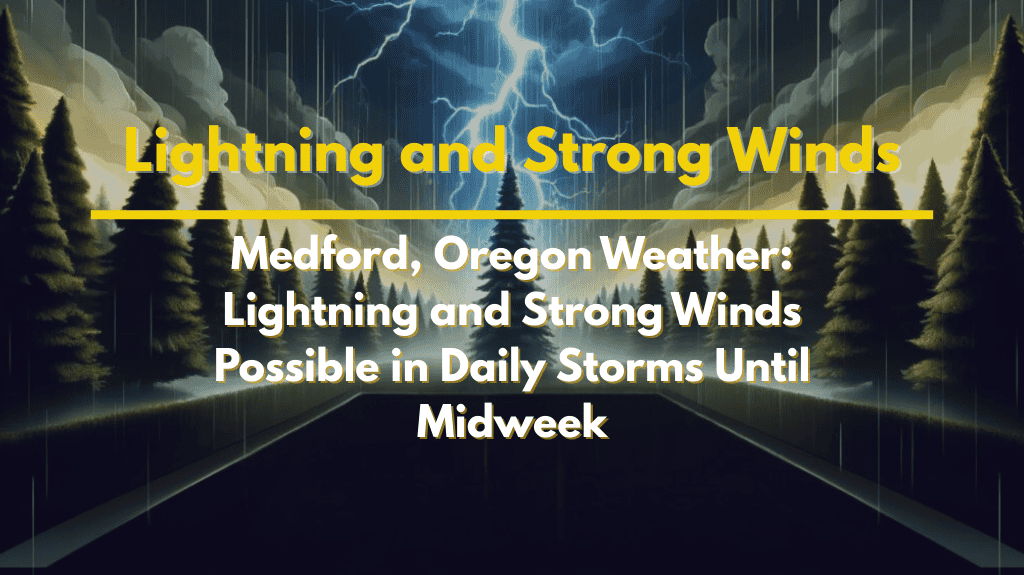
Storms in Medford are expected to produce gusty winds, heavy downpours, and small hail. Lightning strikes are common in the afternoons and evenings, with the strongest storms capable of sparking wildfires in dry fuels throughout southern Oregon.
Communities such as Medford, Grants Pass, Ashland, and Klamath Falls should prepare for rapidly changing conditions.
Outdoor recreation areas, such as Crater Lake National Park and mountain lakes, are particularly vulnerable to lightning strikes. Residents should avoid exposed summits, ridgelines, and large open fields if storms develop.
Travelers on Interstate 5 and Highways 62 and 97 may encounter sudden downpours, reducing visibility. Authorities advise delaying outdoor plans when thunder is heard and waiting 30 minutes after the last rumble before resuming activities.
Thunderstorm chances will remain high until Wednesday, with additional watches and warnings possible if fire activity increases.


