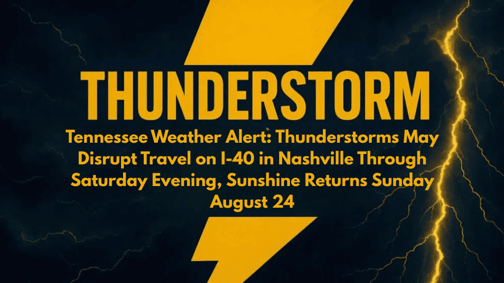
Nashville, Tennessee – Drivers in Tennessee should be prepared for scattered thunderstorms late Saturday, with the greatest impact expected along I-40 through Nashville. Rain could cause slick evening commutes before the skies clear overnight. Sunday brings a sharp turn toward drier, calmer weather.
The National Weather Service in Nashville predicts a 40% chance of showers and storms until 7 p.m. Saturday, after which conditions will improve. Winds shift north overnight, keeping lows around 69 degrees. By Sunday, the skies become bright and dry, with highs around 90 degrees and light breezes providing some relief.
The storm window is brief, but it could cause localized hazards. Motorists on I-65 and I-24 should slow down if heavy rain falls, especially in Davidson and Williamson counties. Outdoor plans are safer on Sunday, with sunny skies dominating the beginning of the week.
Following a hot and humid start, cooler nights and clear mornings set in. The north winds remain light, making conditions comfortable. The change should give Tennessee residents a break from the stormy weather as the school and work weeks start.
Residents should remain weather-aware this evening in case any lingering storms become stronger than expected. Clear skies overnight will make travel easier on Sunday morning.
🌦️ Five Day Forecast for Nashville, Tennessee
Sunday, Aug. 24: Sunny, high 90, low 59
Monday: Sunny, high 83, low 60
Tuesday: Mostly sunny, high 82, low 55
Wednesday: Sunny, high 82, low 56
Thursday: Mostly sunny, high 85, low 60


