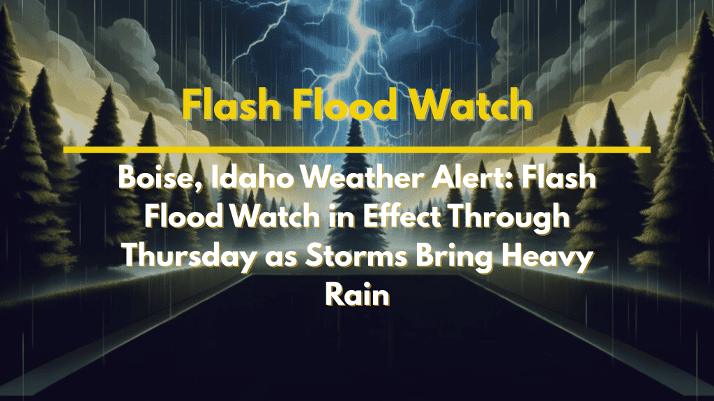
Heavy tropical moisture is sweeping into southwest and central Idaho this week, bringing a serious flash flood threat through Thursday night. With repeated rounds of rain and thunderstorms expected, both mountain communities and urban areas are at risk. The National Weather Service has issued a Flash Flood Watch for much of the region, including Boise, the Treasure Valley, and the central mountains.
Flash Flood Watch in Effect Across Southwest and Central Idaho
Unusually high levels of moisture for late August are pushing into the area, setting the stage for multiple days of heavy rain and storm activity. Storms will come in waves through Thursday night, with the heaviest rainfall likely over higher elevations and steep terrain, which makes flooding more dangerous and unpredictable.
Areas under the highest risk include:
Stanley, Lowman, and Idaho City – over 1.5 inches of rain expected
Boise and Twin Falls – up to 0.5 inches, more in thunderstorms
McCall, Hailey, and Fairfield – 1 to 1.2 inches possible
Why the Flooding Risk Is So High
This isn’t your typical summer thunderstorm pattern. The current system involves tropical moisture, which can dump large amounts of rain in a short time. Because the soil in many places is already saturated, even moderate rain can lead to sudden flooding, especially in:
Low-lying urban areas
Steep mountainous terrain
Along major roadways like U.S. 20, U.S. 95, and Highway 21
Key Flooding Hazards to Watch For:
Urban street flooding from clogged drains or runoff
Rapid rises in creeks and rivers
Mudslides in mountainous or recently burned areas
Dangerous road conditions, especially at night or in poor visibility
Safety Tips for Residents and Travelers
If you live or travel in the affected areas, now is the time to stay alert and prepared. Flash floods can develop quickly, especially during or just after storms.
Here’s what you should do:
Never drive through flooded roads – water may be deeper than it looks
Have an emergency plan and evacuation route ready if you live near a flood-prone area
Check the latest weather alerts and forecasts frequently
Keep a flashlight, first aid kit, and extra batteries handy
If camping or hiking, avoid low-lying areas and riverbanks
Storms Likely Through Thursday Night
Daily showers and storms will continue across southwest and central Idaho until early Friday. While rain may come in waves, each round adds to the flood risk. Forecasters say additional weather alerts or flash flood warnings are likely as rainfall totals increase.


