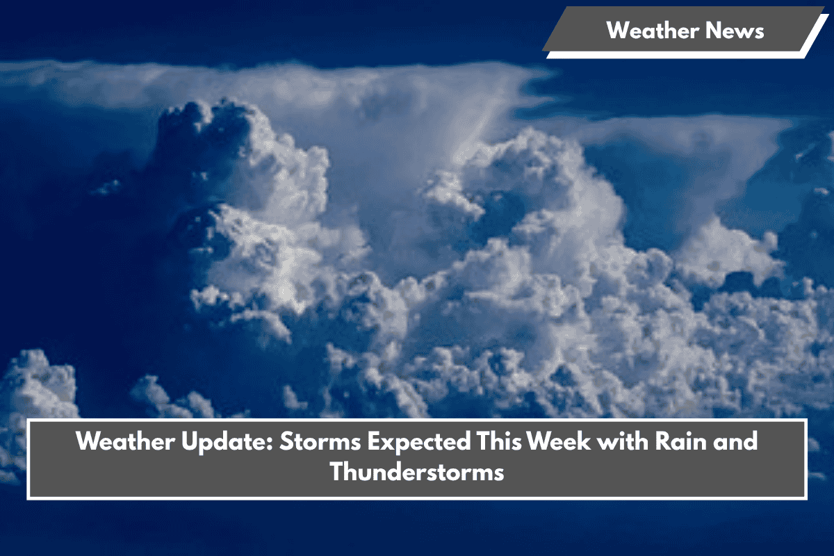
After a sunny and hazy weekend, a change is coming. Starting early Tuesday morning, clouds will return, bringing a good chance of rain and thunderstorms.
Storm Systems on the Move
Two smaller storm systems will merge over the Plains and move toward our area. This will create a long cold front stretching from southern Wisconsin to northern Texas. The front will bring active weather, especially later Tuesday.
What to Expect on Tuesday
- Early in the day, southern areas may see stronger, isolated storms because of clearer skies.
- Storms will likely form a line along the cold front as the day progresses.
- Damaging winds are the biggest concern.
- Some storms may produce hail.
- Heavy rain could cause localized flash flooding, with some areas possibly receiving 2 inches or more.
Continued Unsettled Weather
This weather pattern won’t be just for one day. Rain and storms are expected to continue through much of the week and possibly into the weekend, lasting through June 8th.


