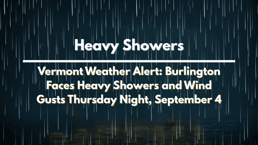
BURLINGTON, Vermont – Drivers in Vermont should brace for wet roads and strong winds late Thursday as a storm system approaches. Strong showers could disrupt evening travel, particularly on Interstate 89, where reduced visibility and slick pavement could cause delays.
According to the National Weather Service in Burlington, rain chances increase dramatically Thursday night, with precipitation expected after sunset.
Southerly winds may reach 25 mph, with localized gusts exceeding 30 mph. Rainfall amounts may approach a half-inch in some places, causing ponding on highways and flooding in low-lying areas.
Thursday will begin warm and sunny, with temperatures reaching the low 80s before clouds appear in the afternoon. Conditions quickly deteriorate after dark, and rain is expected to continue until early Friday morning.
The unsettled pattern eases by midday Friday, but lingering showers are still possible.
Saturday brings cooler weather, with highs in the low 70s and scattered showers. Plans for outdoor activities, such as high school football games and local fall festivals, may be disrupted.
By Sunday, the skies clear and temperatures rise, but overnight lows drop into the 40s, a reminder that fall is approaching.
Residents are advised to limit non-essential travel Thursday night, secure outdoor items ahead of gusty winds, and allow extra time for commutes on Friday morning.
More advisories may be issued if the rain continues or the winds strengthen.
Five Day Forecast for Burlington, Vermont
Thursday: High 82°F, increasing clouds, evening showers, gusts to 25 mph.
Friday: High 79°F, morning showers, partly sunny by afternoon.
Saturday: High 72°F, scattered showers, cooler air moving in.
Sunday: High 68°F, mostly sunny, crisp morning lows in the 40s.
Monday: High 70°F, mostly clear, mild fall day.


