Severe thunderstorms are expected to sweep across eastern Colorado on Sunday, threatening to disrupt travel, outdoor plans, and daily life for thousands. With damaging winds and large hail in the forecast, residents across the plains should stay weather-aware and take precautions as the afternoon progresses.
Storms Expected to Fire Up After 1 PM
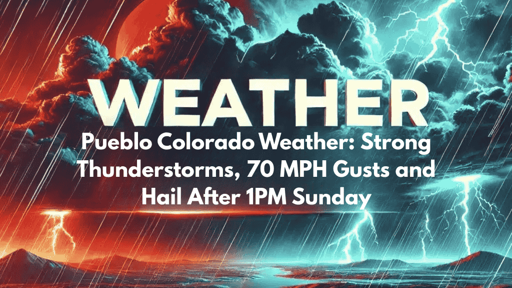
According to the National Weather Service in Pueblo, thunderstorms are likely to form just east of the mountains after 1 p.m., then rapidly intensify as they move across the eastern plains. The strongest storms are expected between 3 p.m. and 6 p.m., with areas like Lamar, Springfield, Burlington, La Junta, and Eads directly in the path.
These storms are being fueled by a combination of mountain heat and moist air on the plains, creating the perfect setup for strong to severe weather.
Main Hazards: Hail and Damaging Winds
The primary threats from Sunday’s storms include:
Hail between 1 to 1.5 inches in diameter – large enough to damage vehicles, roofs, and crops.
Wind gusts of 60 to 70 mph – strong enough to knock down trees, blow debris, and damage power lines.
Sudden downpours – leading to brief flooding in low-lying areas and poor visibility for drivers.
These hazards are especially concerning for those travelling or planning outdoor events in the afternoon and evening.
Travel Disruptions Likely Along U.S. 50 and I-70
If you’re driving along U.S. Highway 50 or Interstate 70, prepare for hail-slick roads, reduced visibility, and potential debris on roadways. It’s a good idea to delay non-essential travel or at least check radar and alerts before heading out.
Residents attending outdoor events or working outside should seek shelter by early afternoon. Securing outdoor furniture, garden tools, and other loose items can help prevent wind-related damage.
Power Outages and Warnings Likely
Communities east of Pueblo, including La Junta and Eads, may experience temporary power outages if winds take down power lines. Keeping your phone charged, having a flashlight ready, and staying updated with a weather app or radio can help during any outages or emergencies.
Storm Timeline Summary
| Time Frame | Expected Activity | Areas Affected |
|---|---|---|
| 1 p.m. – 3 p.m. | Storms begin forming near the foothills | East of Pueblo, La Junta |
| 3 p.m. – 6 p.m. | Peak storm intensity with large hail, wind | Lamar, Springfield, Burlington |
| 6 p.m. – 9 p.m. | Storms continue eastward | Far eastern plains |
| Overnight | Possible lingering storms | Southeast Colorado, border regions |
Sunday afternoon and evening could turn stormy across eastern Colorado, with severe thunderstorms posing real threats to safety and property. Large hail, damaging winds, and lightning are expected, especially in towns along U.S. 50 and I-70. Whether you’re travelling or enjoying time outdoors, it’s essential to stay weather-ready. With the worst of the weather peaking around 5 p.m., being indoors and staying informed can help you stay safe.


