Louisville, Kentucky — Thunderstorms are set to return to Kentucky this week, bringing heavy rain and possible travel problems across Jefferson County and nearby areas.
What to Expect This Week
The National Weather Service in Louisville reports that increasing cloud cover will arrive on Wednesday, June 4, with a 30% chance of showers and thunderstorms starting after 2 a.m. on Thursday.
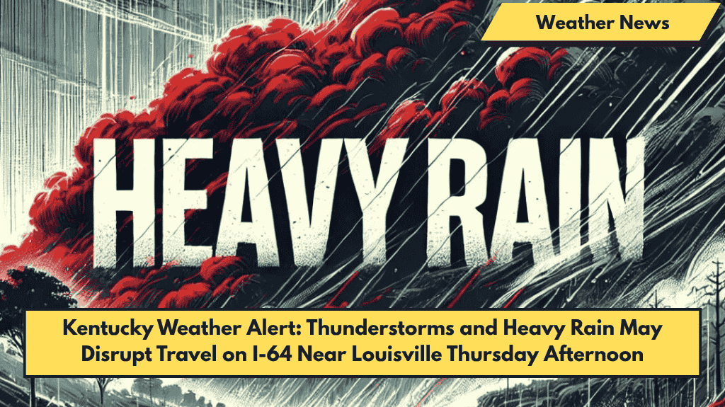
By Thursday afternoon, the storm chance rises to 70%, with heavy rain likely, especially along I-64 and other major roads. Scattered storms could affect central Kentucky cities including Louisville, New Albany, and Shelbyville.
Storm and Driving Hazards
- Rainfall totals are expected between 0.1 and 0.25 inches, but could be higher where thunderstorms develop.
- Drivers should watch for ponding on roads and reduced visibility during heavy rain.
- Winds from the southwest may gust up to 18 mph, adding to driving difficulties.
- Residents are advised to avoid low-lying areas during heavy downpours and secure outdoor items by Wednesday evening.
Continuing Weather Pattern
Showers and thunderstorms will continue into Friday, with an 80% chance of rain before 2 a.m. Temperatures will stay in the low 80s.
The unsettled weather is expected to linger through Saturday, with occasional breaks but no completely dry day until Sunday.
Five-Day Forecast for Louisville (June 3–7)
| Day | Weather | High Temp |
|---|---|---|
| Tuesday | Mostly sunny | 89°F |
| Wednesday | Increasing clouds | 89°F |
| Thursday | Showers and thunderstorms | 84°F |
| Friday | Early thunderstorms, then showers | 83°F |
| Saturday | Chance of showers, mostly cloudy | 80°F |


