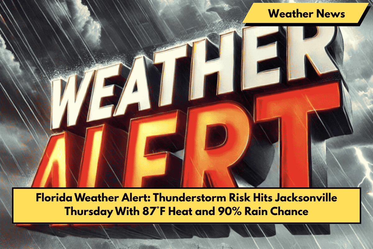
Jacksonville, Fla. – Severe thunderstorms and gusty winds are set to strike the Jacksonville area Thursday afternoon, bringing a mix of dangerous lightning, road flooding, and sweltering humidity.
Thunderstorm Forecast for Thursday Afternoon
According to the National Weather Service, storms will start building after 2 p.m. Thursday, June 5, with an 80% chance of rain and temperatures reaching near 87°F. Winds will pick up with gusts reaching up to 17 mph, and the downpours will hit I-295 and U.S. 17 particularly hard, creating hazardous driving conditions.
Potential for Localized Flooding
Localized flooding is possible, especially in low-lying neighborhoods and areas prone to poor drainage. Motorists should avoid driving through standing water and stay tuned to real-time traffic alerts. Outdoor plans should be rescheduled, and residents are advised to secure loose items around their properties ahead of the storms. It’s also a good idea to charge mobile devices in case of power outages.
Friday and Weekend Outlook
The stormy weather pattern will continue into Friday, with a brief dry window after 11 a.m. before more storms return Friday night into Saturday. This unstable weather trend will persist through early next week, making weekend plans unpredictable.
🔎 Five-Day Forecast for Jacksonville, FL (June 4–9)
- Wednesday, June 4: High 84°F. Thunderstorms likely. Breezy southeast winds.
- Thursday, June 5: High 87°F. 90% chance of thunderstorms. Winds SW 8–11 mph.
- Friday, June 6: High 92°F. Partly sunny after 11 a.m. Storms return overnight.
- Saturday, June 7: High 94°F. Afternoon storms likely. 60% chance of precipitation.
- Sunday, June 8: High 92°F. Showers and storms continue. 60% chance of rain.


