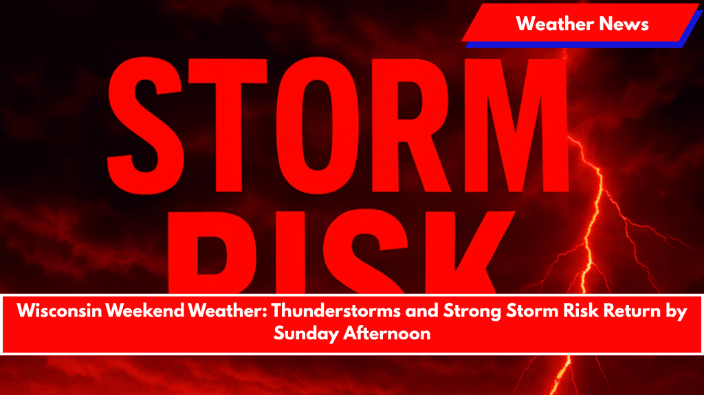
Green Bay, Wis. – After a quiet Thursday, stormy weather will return to Wisconsin, with the greatest risk for strong storms expected Sunday afternoon and evening.
According to the National Weather Service in Green Bay, Thursday will remain dry, with increasing clouds throughout the day. Highs will range from 71 to 81 degrees. However, by Friday afternoon, scattered showers and thunderstorms will develop and continue intermittently through the weekend.
Weekend Outlook:
- Saturday: Storms will linger, particularly in central and eastern counties like Outagamie and Brown, possibly affecting weekend plans.
- Sunday: The highest chance for strong storms will occur, with potential for heavy rain, gusty winds, and lightning. Areas including Green Bay, Appleton, and Oshkosh are at risk. Outdoor activities Sunday afternoon should be reconsidered or moved indoors due to the severe weather threat.
Monday Outlook:
The unsettled weather pattern will persist into Monday, with cooler temperatures and possible ongoing showers in much of northeast Wisconsin.
Safety Tips:
- Outdoor Events: Be prepared to move activities indoors, especially Sunday afternoon, as storms will bring the highest risk for severe conditions.
- Stay Informed: Ensure weather alerts are enabled on your devices and monitor local reports for updates on storm timing and severity.
Looking Ahead:
The storm chances may shift as systems evolve throughout the weekend, so stay tuned for additional updates and be ready to adjust your plans.


