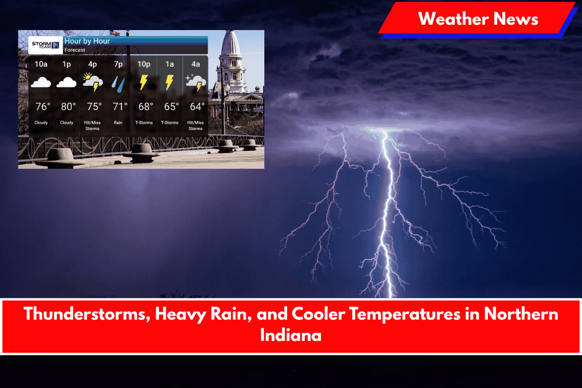
An active weather pattern is moving into Northern Indiana, bringing storms, heavy rain, and cooler temperatures, especially in the northwest counties.
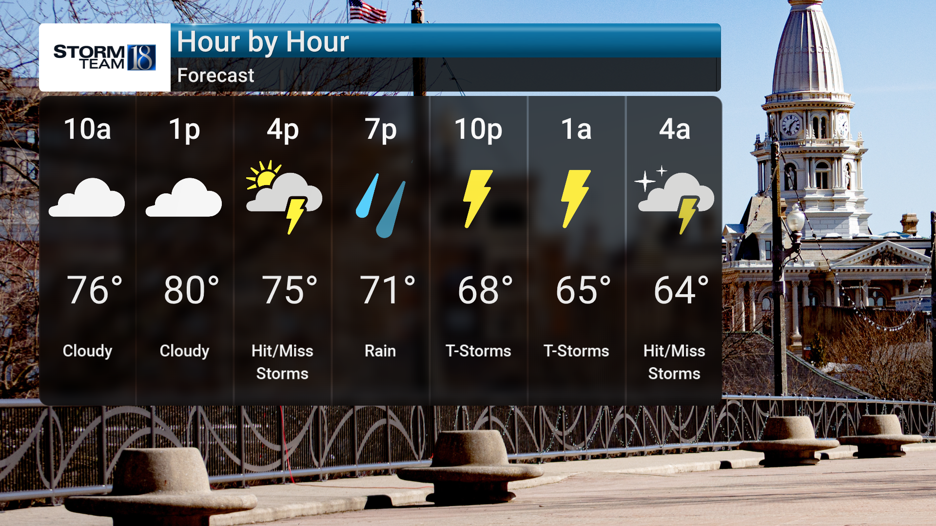
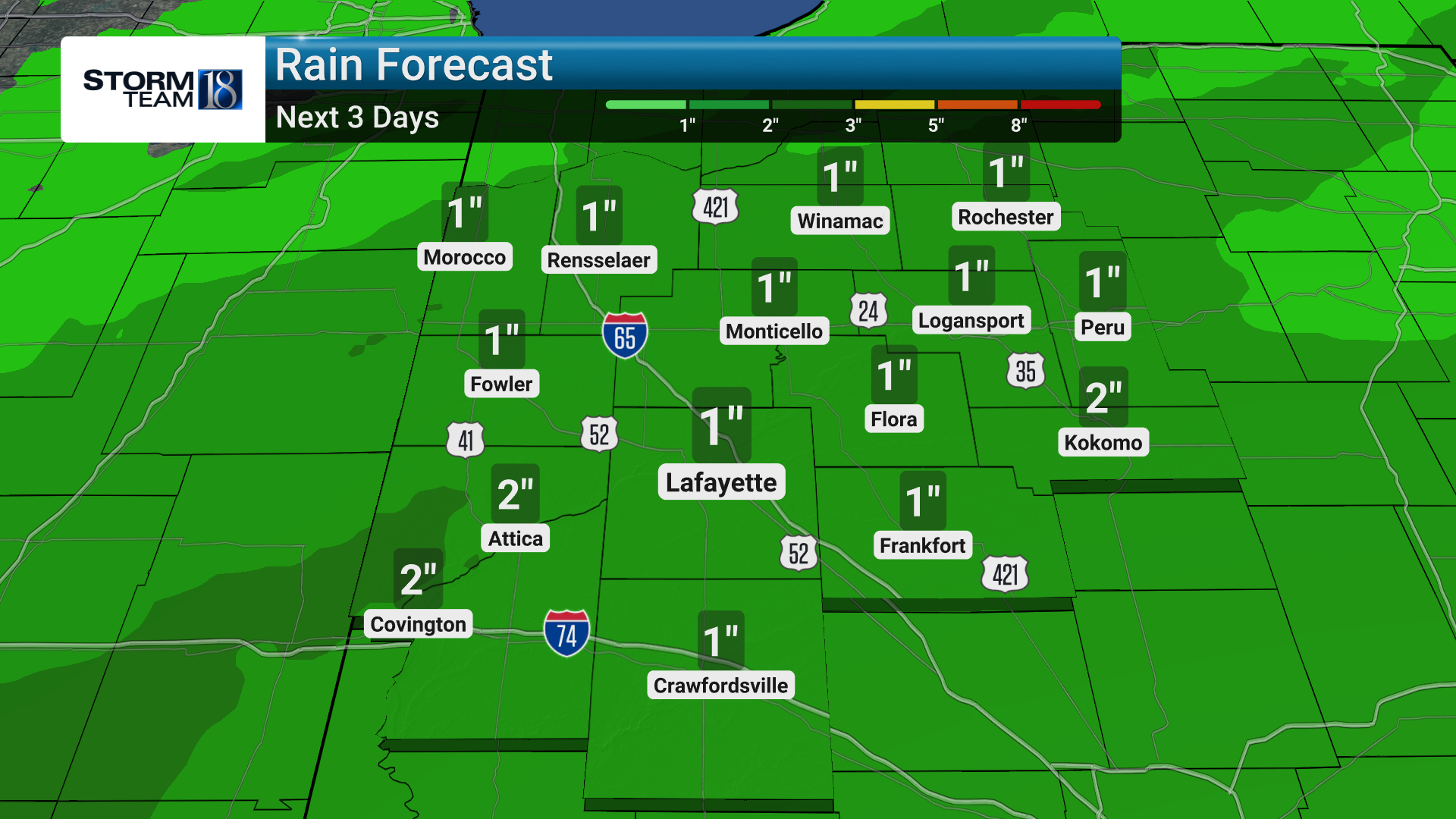
A slow-moving front is expected to increase rain chances tonight, along with the potential for small hail and frequent lightning. While widespread severe weather is unlikely, localized flooding remains a concern due to heavy downpours, with rainfall amounts potentially reaching 1 to 1.5 inches.
Weather Details:
- Breezy Conditions: Expect gusts up to 30 mph this afternoon.
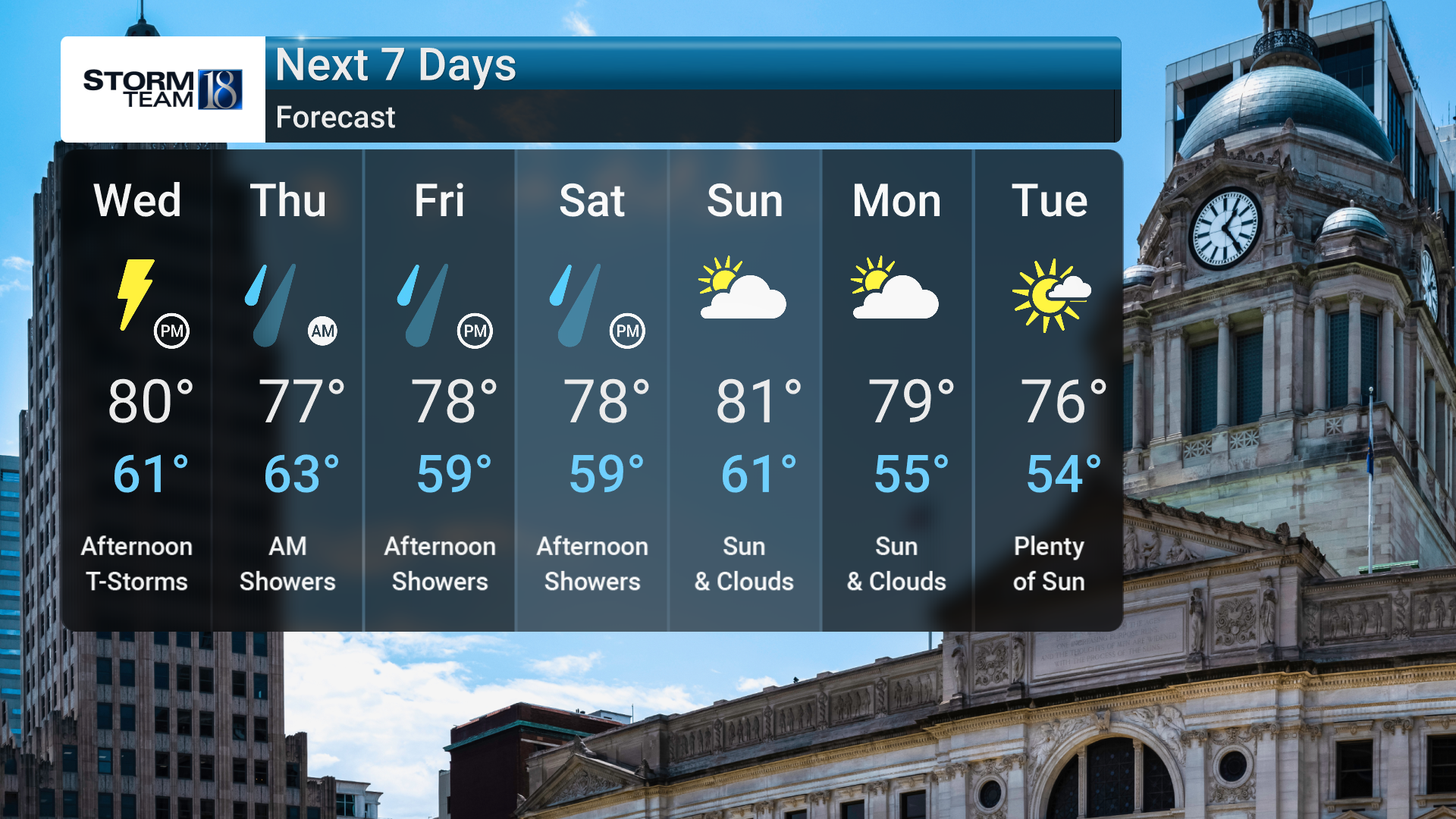
- Storms and Rain: Thunderstorms and heavy rain will continue through Thursday and Saturday, with localized flooding possible.
- Rainfall: 1-1.5 inches of rain is possible, especially in the northwest counties.
- Unsettled Weather: The unsettled conditions will last through the end of the week, but drier air will begin to move in Saturday, bringing a break from the rain.
Weekend Outlook:
- Saturday: Drier air will provide a brief break from the rain, but be prepared for another round of showers and thunderstorms as we head into Sunday night into Monday, linked to a strong upper-level low.
Safety Tips:
- Flooding Risk: Be cautious of localized flooding in areas with poor drainage. Avoid travel on flooded roads.
- Winds: Secure outdoor items and take precautions to prevent damage from gusty winds.
- Lightning Safety: If you hear thunder, go indoors. Lightning is a significant danger even outside of the heaviest rain.