Orlando, Florida – Thunderstorms are set to roll into Central Florida by midday Friday, potentially causing travel delays just in time for lunch hour traffic on I-4 and other major routes.
Expect scattered downpours and lightning that will stretch into the afternoon and evening, bringing a 60% chance of rain and locally heavy pockets that may cause minor flooding.
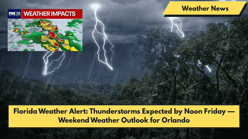
What to Expect Friday
According to the National Weather Service in Melbourne, storms are expected to develop after 11 a.m. on Friday, with the heaviest rain continuing through the night.
Rainfall amounts could reach up to a quarter inch, especially in urban areas prone to pooling water. South winds around 9 mph may gust higher during the storms, which could create additional hazards on the road.
Weekend Weather Outlook: Scattered Storms with High Heat
- Saturday will offer a brief reprieve, with only a 30% chance of storms before 6 p.m. High temperatures will reach the lower 90s, with “feels-like” temperatures approaching 100°F.
- Sunday brings more rain, with a 50% chance of thunderstorms, especially in the afternoon and evening. Stay prepared for potential delays in outdoor events and plan to stay hydrated.
Looking Ahead: Typical Florida Summer Weather
Next week kicks off hot and stormy, with showers and thunderstorms likely each afternoon through Tuesday. As usual, expect humid, storm-prone, and unpredictable weather, typical of Florida’s summer months.
Five-Day Forecast for Orlando (June 5–10)
- Thursday, June 5: High of 89°F – PM storms likely (60%)
- Friday, June 6: High of 92°F – Thunderstorms after 11 a.m. (60%)
- Saturday, June 7: High of 93°F – Slight storm chance before 6 p.m. (30%)
- Sunday, June 8: High of 93°F – PM storms likely (50%)
- Monday, June 9: High of 93°F – Afternoon storms likely (60%)


