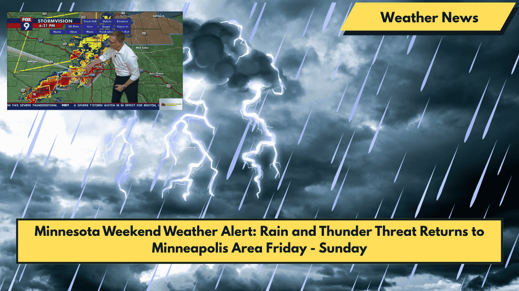
Minneapolis, Minnesota – Commuters across the Twin Cities should prepare for wet roads and possible delays Friday afternoon as showers and isolated thunderstorms move into the region. Rain is expected to begin after 1 p.m., especially along major roads like I-94, which could cause disruptions to Friday errands and weekend getaways.
Friday Weather: Showers and Isolated Storms
According to the National Weather Service (NWS) in Chanhassen, Minneapolis will face a 60% chance of showers starting in the afternoon, with isolated storms possible into the evening. Northeast winds of up to 10 mph may accompany brief downpours.
While most areas will see less than a tenth of an inch of rain, localized totals may be higher, especially in areas affected by thunderstorms.
Friday night will bring a 20% chance of light rain, with skies staying mostly cloudy. Temperatures will dip to around 56°F, making for a cooler night.
Saturday Weather: More Showers and Thunderstorms
On Saturday, the chance of precipitation will climb to 40%, with the best chance of rain expected before 1 p.m. Another round of showers and storms will move through, bringing more rainfall and the possibility of breezy conditions. High temperatures will reach around 76°F.
Sunday Weather: Afternoon Thunderstorms
Sunday continues the trend, with a mix of sun and clouds and a 50% chance of thunderstorms developing after 1 p.m. Afternoon storms will bring bursts of rainfall and breezy conditions, with highs near 71°F.
Looking Ahead: Drier Conditions for the Start of the Week
The weekend wraps up with a higher chance of rain on Monday, followed by a drier and warmer stretch starting on Tuesday.
5-Day Forecast for Minneapolis (June 5–10)
- Thursday, June 5: Mostly sunny, high of 81°F.
- Friday, June 6: Showers likely after 1 p.m., high of 72°F.
- Saturday, June 7: Chance of thunderstorms before 1 p.m., high of 76°F.
- Sunday, June 8: Chance of storms after 1 p.m., high of 71°F.
- Monday, June 9: Showers and storms likely, high of 68°F.


