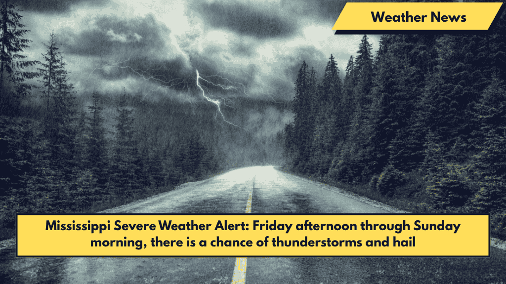
Jackson, Mississippi – Severe thunderstorms are expected to roll into Mississippi starting Friday afternoon, bringing a weekend-long threat of damaging winds, heavy rainfall, and quarter-size hail, especially in northern counties.
What to Expect: Storm Timing and Hazards
According to the National Weather Service (NWS) in Jackson, a Level 2 (Slight) severe weather risk is in place for areas including Greenwood, Philadelphia, and Columbus through Friday night. These storms could produce:
- Wind gusts up to 60 mph
- Isolated hail up to quarter-size
- Heavy rainfall, with localized flooding concerns, especially in low-lying or poorly drained areas
Areas Affected: North to South
As the storms progress, the severe weather threat will expand southward into Saturday and Sunday, affecting cities like Jackson, Vicksburg, and Meridian. Multiple rounds of storms are expected, particularly late Saturday and into the early hours of Sunday morning. The strongest storms will likely move from northwest to southeast, with the timing and intensity of the storms becoming clearer later on Friday.
Safety Tips and Preparations
Residents in affected areas should:
- Secure outdoor items to prevent damage from high winds
- Avoid unnecessary travel during storm periods
- Prepare for potential power outages by having emergency kits, charged phones, and weather radios on hand
Monitoring and Updates
The severe weather risk is expected to last through Sunday morning, with updates likely as the storm development and track become clearer. Stay informed by monitoring weather alerts for the latest information on the storms.


