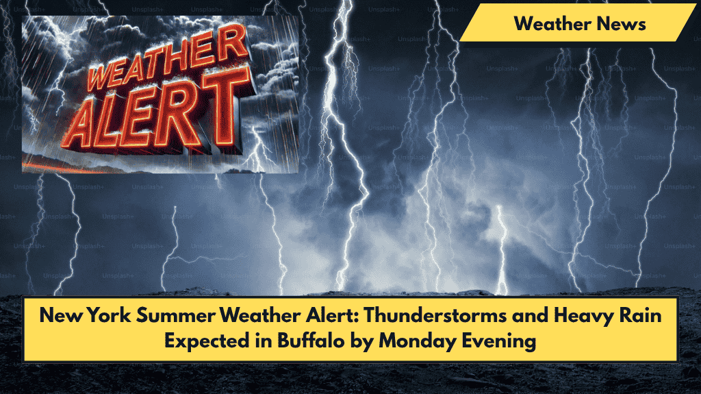
Buffalo, NY – A stormy evening is on the horizon for western New York, with heavy rain and possible thunderstorms set to roll into Buffalo late Monday. These storms are expected to arrive just in time for the evening commute, bringing the risk of slick roads and reduced visibility along major routes like I-190 and I-290.
Monday Evening Forecast
The National Weather Service forecasts a 70% chance of rain starting after 5 p.m. Monday, with rainfall totals reaching up to a quarter-inch, particularly in areas where storms intensify.
Southwest winds will pick up, reaching around 9 mph, and temperatures will peak near 74°F. A thunderstorm may hit before 8 p.m., followed by waves of rain from 8 p.m. to 11 p.m. Lighter showers will continue after that, with the storm system expected to taper off by dawn Tuesday.
Travel Advisory
In light of the forecast, residents are urged to delay non-essential travel Monday evening and secure outdoor items in preparation for gusty winds.
Looking Ahead:
- Tuesday (June 10): Mostly sunny with a high of 68°F. Winds may gust up to 25 mph, potentially affecting open roadways and bridges.
- Wednesday (June 11): Sunny, with highs around 72°F and clear skies overnight.
- Thursday (June 12): Partly sunny, high of 74°F, with light breezes and calm conditions.
- Friday (June 13): Showers return, with a 30% chance of rain in the afternoon and evening.
With a stormy start to the week followed by sun-filled days ahead, Buffalo drivers and outdoor workers should plan accordingly. Keep an eye out for more alerts if rainfall intensifies. Stay safe!


