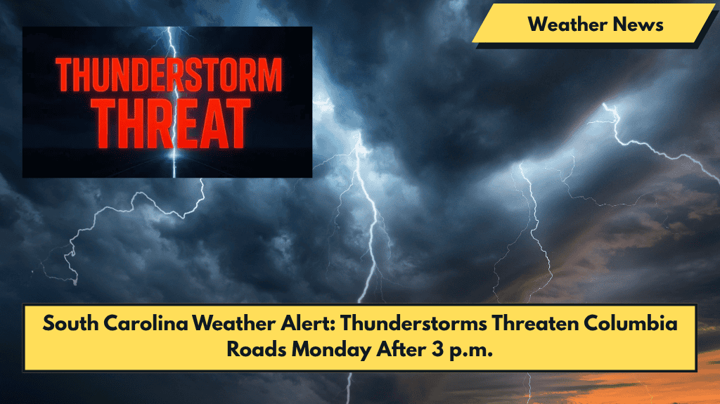
Columbia, South Carolina – Thunderstorms will return to Columbia Monday afternoon, bringing a renewed threat of downpours and lightning, just in time for the evening commute.
What to Expect on Monday
According to the National Weather Service, thunderstorms are expected to develop after 3 p.m. Monday. There’s a 30% chance of rain during the day, which increases to 50% overnight. Storms may drop between a tenth and a quarter inch of rain, with higher amounts in localized downpours.
- Winds will shift from the west to southwest, gusting up to 13 mph.
Impact on Travel
Drivers on I-26, I-77, and I-20 should be prepared for slick conditions and potential ponding on the roads during the evening rush hour. Power outages and brief flooding could occur in heavier storm cells.
Residents are advised to:
- Secure loose outdoor items to prevent damage.
- Charge mobile devices in case of power outages.
What’s Ahead: Tuesday and Beyond
Tuesday will bring similar weather, with a 50% chance of thunderstorms during the day and into the evening. Storms are expected to taper off after sunset but may linger through early Wednesday.
For the second half of the week, the weather will remain unsettled, with showers and storms possible on Thursday (40% chance) and Friday (60% chance). Highs will remain near 91°F, and lows will be in the upper 60s. The humidity will stay high, making it muggy and potentially dangerous for outdoor labor or prolonged exposure.
Stay Prepared
Summer weather alerts remain in effect throughout the week, and more advisories may be issued as storm timing becomes clearer. Stay updated through local news and NWS bulletins.


