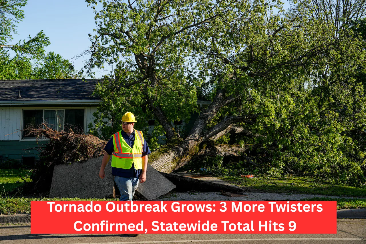
Three More Tornadoes Confirmed from Thursday Night Storms, Bringing Michigan’s Total to Nine
A powerful line of storms that swept across Michigan Thursday night has now been confirmed to have spawned three more tornadoes, according to the National Weather Service (NWS). This raises the total number of twisters from that evening to nine.
Two of the newly confirmed tornadoes touched down in Allegan County, while the third started in Kent County and moved into Ionia County.
These EF-1 rated tornadoes—considered on the lower end of the Enhanced Fujita Scale—caused damage to campgrounds, tore off home roofs, and uprooted trees. Fortunately, no injuries were reported.
After the storms passed, survey teams from the NWS offices in Grand Rapids and Detroit spent Friday and Saturday inspecting the hardest-hit areas, assessing downed trees, damaged homes, and widespread power outages.
Here’s a breakdown of the three latest confirmed tornadoes:
🌪️ EF-1 Tornado near Martin in Allegan County
- Wind Speed: Estimated peak of 95 mph
- Path Length: Just over 8 miles
- Time on Ground: 10:41 p.m. to 10:49 p.m. Thursday
What happened:
The tornado first touched down near 114th Avenue and N16th Street, knocking down a power pole. It crossed Schnable Lake, damaging a campground and flipping trailers. Tree damage led to roofs being destroyed, and the storm continued across 115th Avenue, hitting downtown Martin. The tornado eventually weakened and lifted near the Allegan/Barry county line.
🌪️ EF-1 Tornado near Sandy Pines Campground, south of Dorr (Allegan County)
- Wind Speed: Up to 90 mph
- Path Length: 5 miles
- Time on Ground: 10:28 p.m. to 10:33 p.m. Thursday
What happened:
This tornado formed near Sandy Pines Campground and intensified near 138th Avenue and 24th Street. It snapped and uprooted numerous trees, with the strongest winds and worst damage reported around Hilltop View Drive and 21st Street.
🌪️ EF-1 Tornado from Kent County into Ionia County
- Wind Speed: Around 90 mph
- Path Length: 14.5 miles
- Time on Ground: 10:51 p.m. to 11:08 p.m. Thursday
What happened:
This tornado began just east of the Thornapple River northeast of Caledonia and traveled northeast. It caused tree damage along its path and damaged roofs near Campbell Lake. The tornado crossed I-96 around Hastings Road and finally dissipated just south of Saranac.
The NWS continues to monitor the aftermath as communities clean up and assess damage. Though these tornadoes were on the weaker end, they serve as a strong reminder of how quickly severe weather can turn dangerous.


