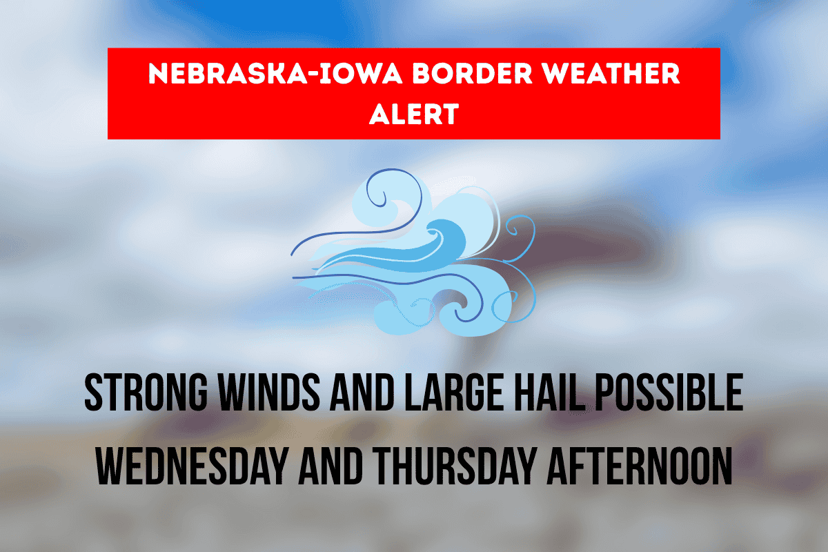
Residents along the Nebraska-Iowa border should be prepared for severe weather on Wednesday and Thursday afternoons. A multi-day storm system is expected to bring strong winds, large hail, and localized flooding to the region. The National Weather Service in Omaha/Valley has issued a Marginal Risk for severe weather both days.
Weather Outlook for Wednesday and Thursday
The storm system will affect areas from Norfolk and Lincoln in Nebraska to Council Bluffs and Sioux City in Iowa, including western Iowa cities like Carroll and Atlantic.
The storms are expected to develop in the afternoon, with a 40-70% chance of storms on both Wednesday and Thursday. While these storms are not expected to be widespread or long-lasting, there is a 5% chance that some storms could become severe.
Storm Impact on Local Communities
Omaha, Bellevue, and Council Bluffs are expected to see storm activity during the afternoon, possibly around peak commute hours. This could result in downed tree limbs, minor property damage, and reduced visibility due to heavy rainfall.
Motorists traveling along I-80 and I-29 should prepare for slick roads and possible ponding, which could make driving hazardous. Residents in areas prone to flooding are encouraged to clear drains and monitor local weather alerts closely.
Risks and Safety Precautions
While the storms may not be widespread, any isolated severe storm could bring strong gusts of wind, brief downpours, and potentially large hail. These conditions could lead to property damage and dangerous driving conditions.
It’s important for residents to stay informed and have multiple ways to receive weather alerts throughout the day.
What’s Next for the Region?
By Friday, the weather pattern may shift further east, but the National Weather Service will continue to provide updates if the storm potential increases. Keep an eye on the weather, stay weather-aware, and take the necessary precautions to stay safe.
In conclusion, Nebraska and Iowa residents along the border should expect strong winds, large hail, and possible flooding on Wednesday and Thursday. Though the storms won’t last long, it’s important to be prepared and stay informed about any severe weather alerts.


