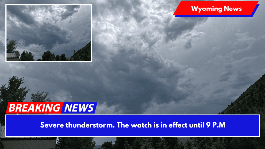
JACKSON, Wyoming — Please be advised! The National Weather Service has issued a Severe Thunderstorm Watch for several counties in Wyoming and Idaho, including both Teton Counties.
The watch remains in effect until 9 p.m. on Wednesday, June 11, with the possibility of severe hail, lightning, and wind gusts.

Wyoming counties under watch include Big Horn, Fremont, Hot Springs, Lincoln, Park, Sublette, Sweetwater, Teton, and Washakie.
Idaho’s counties include Bannock, Bear Lake, Bingham, Bonneville, Caribou, Franklin, Fremont, Madison, Oneida, and Teton.
Tonight in Jackson, temperatures are expected to range from a high of 75 to a low of 42.
Scattered gusts of wind could reach 70 mph in some areas under the weather watch, as well as hail “up to ping-pong size,” according to the weather service. Expect lighting to occur frequently.
Alan Smith, a Buckrail meteorologist, predicted this level of disturbance. Smith predicts a drier climate for the remainder of June after tonight’s storms pass.
Remember these tips for staying safe during severe weather.