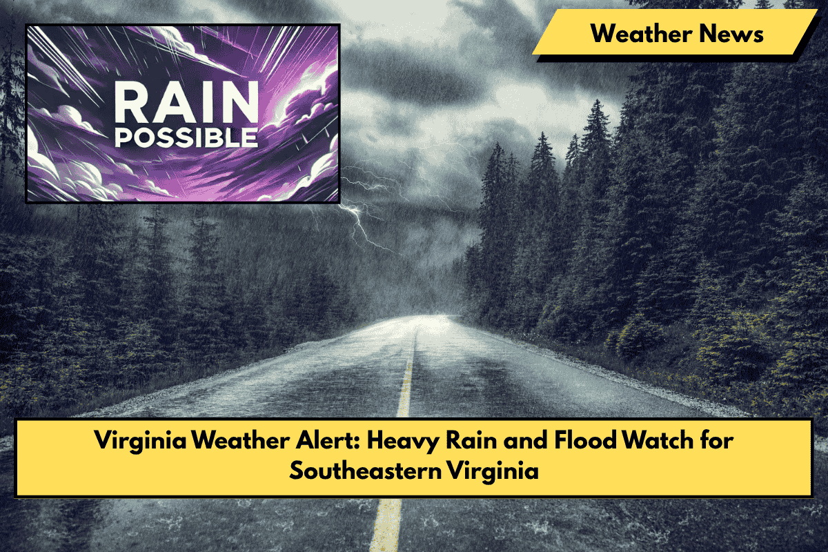
Virginia Beach, VA – Flood watches have been issued for southeastern Virginia, as heavy rain is expected to drench communities from Saturday afternoon through late Saturday night. The National Weather Service (NWS) warns of potential flash flooding in low-lying areas, rivers, and streams, making roadways hazardous, particularly in Virginia Beach, Norfolk, Chesapeake, and surrounding counties.
Saturday: Heavy Rain and Flash Flooding Risk
Excessive rainfall will start around Saturday afternoon, with the possibility of flash flooding increasing in flood-prone areas. Drivers, especially on I-264, Virginia Beach Boulevard, and Shore Drive, should be cautious, as conditions could worsen quickly.
- Flood-prone areas like downtown Norfolk and Chesapeake’s Greenbrier area are at higher risk of urban flooding. These regions tend to accumulate water rapidly during intense rain events.
- Travel Advice: Avoid flooded areas and limit non-essential travel. If you encounter flooded roads, do not drive through them, even if the water seems shallow. Remember: “Turn Around, Don’t Drown”.
Sunday (Father’s Day): More Showers and Storms
On Sunday, additional heavy rainfall is possible, continuing through the afternoon and evening. Father’s Day plans could be disrupted, so be prepared for more rain, which could further raise flooding concerns across the region.
- Highs on Sunday will reach around 81°F, with continued rain and storms expected in the afternoon.
Monday to Wednesday: Thunderstorms and Gradual Improvement
- Monday brings thunderstorms, with highs around 84°F.
- Tuesday will see more thunderstorms in the forecast, continuing the unsettled weather with highs near 84°F.
- Wednesday will bring clearing skies with highs around 89°F, signaling a shift toward better weather.
5-Day Forecast for Southeastern Virginia
| Date | Weather | High Temp | Details |
|---|---|---|---|
| Saturday, June 14 | Heavy rain, flash flooding risk | 87°F | Flash flooding possible, avoid flooded roads |
| Sunday, June 15 (Father’s Day) | Showers and storms likely | 81°F | More rain and storms, affecting outdoor plans |
| Monday, June 16 | Thunderstorms likely | 84°F | Stormy, with thunderstorms continuing |
| Tuesday, June 17 | Chance of thunderstorms | 84°F | Unsettled weather, more thunderstorms expected |
| Wednesday, June 18 | Clearing skies, warmer | 89°F | Drying out, temperatures increase |
What You Should Do
- Stay updated: Monitor weather alerts and local forecasts throughout the weekend.
- Prepare for flooding: If you live in flood-prone areas, have emergency supplies ready, including a flashlight, batteries, and a portable phone charger.
- Avoid driving in heavy rain: If you must travel, slow down, and avoid flooded roadways. Never drive through standing water.
- Make indoor plans: If you have outdoor activities scheduled, have a backup plan in case the rain disrupts them.
This weekend will bring heavy rain and flooding risks, so stay prepared and take precautions to stay safe, especially when traveling. Be weather-aware, and plan accordingly as the stormy pattern continues into Sunday and beyond. Stay safe!


