Flooding and thunderstorms are threatening to disrupt large parts of the UK following the hottest day of the year so far on Friday.
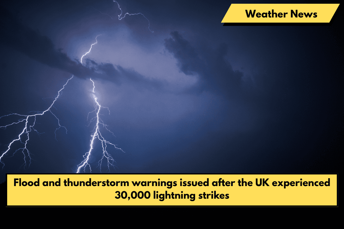
More than 30,000 lightning strikes were recorded up to 6 a.m. on Saturday, though the Met Office said the “vast majority” occurred over the sea. Torrential downpours also hit the land, causing widespread flooding and disruption in Kent.
The Met Office has issued a yellow thunderstorm warning, which will last until 6 p.m. on Saturday. Experts warn that driving may become difficult, and some communities may be cut off by flooding.
The thunderstorm warning extends to the south west, northeast, north of England, Wales, and much of Scotland. The Met Office has warned that some areas could receive 30-50mm of rain in a few hours, with some receiving up to 80mm.
The forecaster predicted that trains and buses would be delayed, as well as homes and businesses flooding.
The warning comes after Santon Downham in Suffolk recorded 29.4 degrees Celsius on Friday, a new high for the year. An amber thunderstorm warning was also issued overnight for parts of the east and south east of England.

On Saturday, an additional yellow warning will be in effect in the eastern half of Northern Ireland from 6 a.m. to 6 p.m.
Kent also received heavy rainfall overnight, resulting in flooded roads in parts of Dover.
A lightning strike was the most likely cause of a fire in a residential building in St Leonards-on-Sea on Friday night, according to the East Sussex Fire and Rescue Service. It stated that there were no reports of casualties and that the fire had been extinguished.
The Environment Agency issued five flood warnings in Devon overnight, including 46 flood alerts in the south west, south east, and Midlands, after North Wyke near Okehampton received 36.4mm of rain on Friday.
National Rail said a landslip had halted all services between Exeter St Davids and Okehampton, and the weather conditions made it unsafe for engineers to reach the site. Disruption is expected until 1 p.m.
Rail operators warned customers to check for service updates on Saturday morning, while Heathrow Airport apologised to passengers late on Friday night for flights delayed due to “adverse weather conditions”.
Chief meteorologist Steve Ramsdale of the Met Office stated, “While the warnings cover the areas of the country most at risk of thunderstorms, not everyone within a warning area will experience a thunderstorm. For many, it will be dry most of the time.”
Heavy rain and thunderstorms are expected to subside throughout the day, with the South East experiencing the driest and brightest weather, which will remain very warm.
The Met Office predicts that showers will continue to ease through Sunday, with dry weather for the majority of the country on Monday and Tuesday.
The Environment Agency’s flood duty manager, Katharine Smith, stated, “There is a risk of significant and localised surface water flooding impacts in parts of England.”
“Environment Agency teams have cleared rivers and watercourses ahead of the storms and are ready to assist local authorities in their response to surface water flooding.”
“We urge people not to drive through flood water as just 30cm of flowing water is enough to move your car.”


