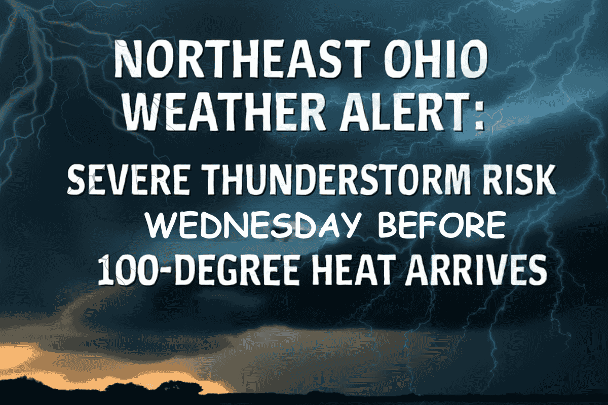
Cleveland, Ohio – Residents in Northeast Ohio should prepare for strong to severe thunderstorms on Wednesday evening, which could bring damaging winds and large hail. The storms are expected to affect Cleveland and surrounding areas, including Cuyahoga County, before a significant heatwave moves in this weekend, bringing some of the hottest weather of the season.
Severe Thunderstorm Risk
The National Weather Service in Cleveland has issued a marginal risk (level 1 of 5) for severe thunderstorms starting Wednesday afternoon and continuing into the night. These storms could be accompanied by localized heavy rainfall and may impact visibility and travel conditions. Forecasters expect the system to pass through ahead of a dramatic temperature increase later in the week.
Extreme Heat on the Way
While the storms will be short-lived, the heat will be the major concern moving into the weekend. By Friday, temperatures are expected to rise into the lower to middle 90s, with heat indices approaching 100°F. This will mark the hottest weather so far this summer. Residents are advised to stay hydrated, limit outdoor activities during the afternoon, and check on vulnerable individuals.
Weather for Juneteenth
The Juneteenth holiday on Thursday is expected to be mostly clear, with a high near 73°F. The heat will build through the week, and the extended outlook suggests that this heatwave will continue into the early part of next week.
Five-Day Weather Outlook for Cleveland:
| Day | Weather | High Temperature |
|---|---|---|
| Tuesday | Chance of showers and thunderstorms after 2 p.m. | 82°F |
| Wednesday | Showers and thunderstorms likely after 11 a.m. | 83°F |
| Thursday (Juneteenth) | Mostly sunny with a chance of showers and thunderstorms | 73°F |
| Friday | Mostly sunny | 88°F |
| Saturday | Partly sunny | 90°F |


