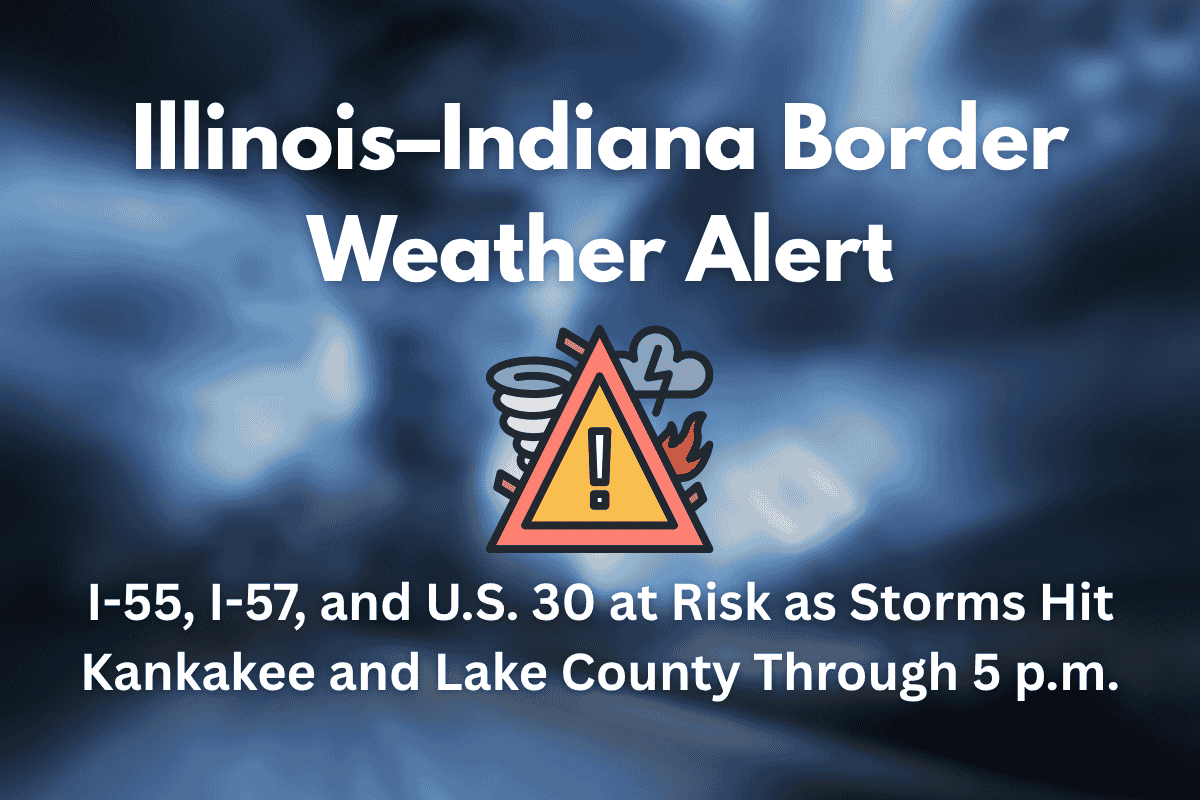
Severe weather is affecting the Illinois–Indiana border this afternoon, bringing heavy rain, thunderstorms, and potential travel disruptions. Areas along major roadways like I-55, I-57, and U.S. 30, including cities like Joliet, Kankakee, and Valparaiso, are seeing hazardous conditions due to intense storms.
The National Weather Service has issued flash flood warnings as the storm moves through the region. This alert warns of significant weather risks, including flooding, strong winds, and the possibility of isolated tornadoes.
Severe Storms Impacting Travel Routes
As of now, severe thunderstorms are moving through Kankakee County, southern Cook County, and into Indiana’s Lake and Porter Counties. These storms are accompanied by heavy rainfall, frequent lightning, and wind gusts reaching up to 50 mph.
Travelers on major highways such as I-55, I-57, and U.S. 30 should be aware of dangerous driving conditions, especially in low-lying areas and poorly drained roadways. Localized flooding and reduced visibility are causing difficulty for drivers.
Flooding and Tornado Risks
One of the most significant concerns today is the risk of flash floods. Water is quickly pooling on roads, especially in cities like Joliet and Kankakee, where roads are already seeing poor visibility.
Flash floods are more likely in low areas, viaducts, and intersections with poor drainage. Additionally, isolated tornadoes could form, especially in the rural areas to the east of I-57 and near I-65, adding another layer of risk to already dangerous conditions.
Travel and Safety Recommendations
Due to the dangerous weather conditions, the National Weather Service strongly advises commuters to delay non-essential travel until the storms pass.
A key safety tip is to never attempt to drive through standing water, as just a few inches can cause your vehicle to lose control or become stranded. Utility workers are also preparing for potential downed power lines and tree limbs caused by strong winds and lightning strikes.
End of the Threat Expected by 5 p.m.
While the storm’s severity should ease by 5 p.m., it’s important for residents and travelers to stay alert for updates. If new storms form, additional weather warnings might be issued. The situation is still developing, and it’s best to monitor local forecasts for the latest information.
If you’re traveling in the affected areas of Illinois and Indiana today, be cautious of the hazardous conditions on major roads, including I-55, I-57, and U.S. 30. Flash flooding and strong winds could significantly impact your commute, so it’s better to avoid unnecessary travel. Stay safe and keep an eye on local weather updates, as further alerts may be issued.


