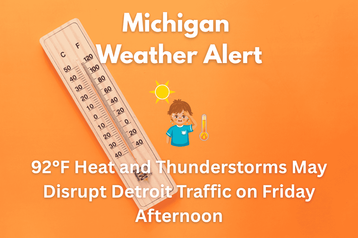
Detroit is facing a mix of heat and thunderstorms this Friday, with temperatures soaring into the low 90s. This volatile weather will bring potential disruptions to outdoor plans and traffic conditions, especially along major highways like I-75 and I-94. Here’s what you can expect from the weather and how to stay safe during the heat and storms.
Thunderstorms and Heat in Detroit
According to the National Weather Service, isolated thunderstorms are expected to begin after 5 a.m. Friday, with a 30% chance of rain continuing through the evening. While Friday’s high will reach around 85°F, it will feel hotter due to the heat index, which could climb even higher with the added humidity.
Saturday will bring even higher temperatures, with a forecasted high of 92°F. Gusty winds from the south could exceed 20 mph, making it uncomfortable and potentially dangerous for those outside, particularly vulnerable populations. These conditions will persist through the weekend, increasing the chances for heat-related illnesses.
Traffic Disruptions Expected on I-75 and I-94
Drivers on major highways like I-75 and I-94 in Detroit should remain cautious, as scattered thunderstorms may cause slick roads and poor visibility, especially during the morning and afternoon hours. Localized flooding could occur if the storms bring heavy rainfall, further disrupting traffic. Power outages are also possible in areas affected by the storms, so be prepared for potential disruptions.
Hot Weekend Ahead
While thunderstorms will affect Detroit on Friday, the weekend will bring extreme heat. Saturday will be hot with temperatures reaching 92°F, and the heat index will make it feel even hotter. There’s a 30% chance of storms on Saturday, but Sunday and Monday are expected to be dry with dangerously high temperatures of 97°F and 98°F, respectively.
Tips for Staying Safe in the Heat
With the rising temperatures, residents are urged to limit strenuous outdoor activity, especially during the hottest parts of the day. Stay hydrated by drinking plenty of water and avoid extended exposure to the sun. It’s also important to check on neighbors who may not have air conditioning to ensure they are staying cool.
The National Weather Service will continue to monitor the situation, and additional heat advisories could be issued if conditions worsen. It’s crucial to stay updated on weather warnings to keep safe during this intense heat wave.
Five-Day Forecast for Detroit, MI (Updated June 19)
| Day | Weather | High Temperature | Additional Information |
|---|---|---|---|
| Thursday (June 19) | Showers likely | 75°F | – |
| Friday (June 20) | High near 85°F, 30% chance of morning storms | 85°F | – |
| Saturday (June 21) | Hot, isolated storms possible | 92°F | – |
| Sunday (June 22) | Sunny and hot | 97°F | – |
| Monday (June 23) | Mostly sunny, dangerously hot | 98°F | Extremely hot conditions expected |
Detroit is in for a hot and stormy stretch starting Friday. While isolated thunderstorms could bring rain and slick roads, the heat will be the main concern for the next few days.
With temperatures reaching into the low 90s and even higher heat index values, it’s important to take precautions, stay hydrated, and avoid excessive outdoor activity. Keep an eye on local weather reports for updates on any new advisories or alerts.


