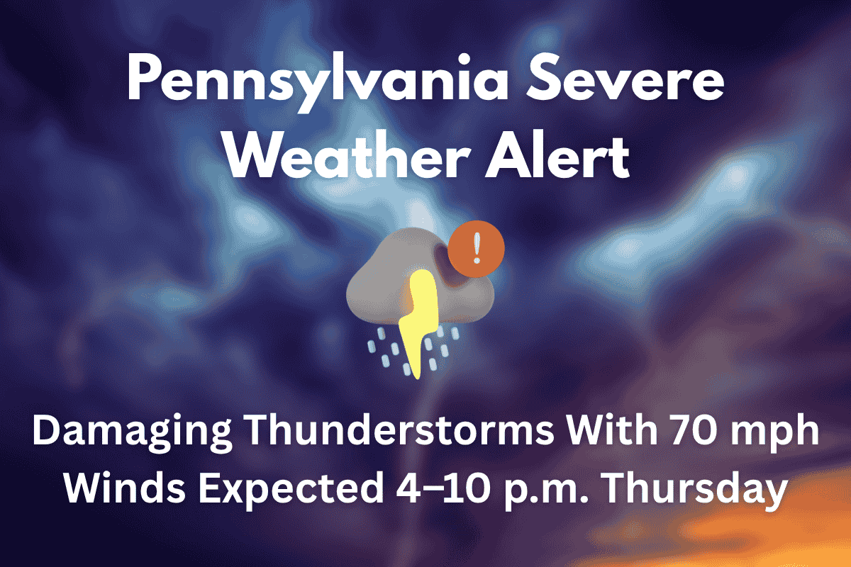
Philadelphia, PA – A powerful line of thunderstorms is expected to hit eastern Pennsylvania, New Jersey, and Delaware on Thursday, between 4 p.m. and 10 p.m., with winds gusting up to 70 mph. These storms could bring the risk of flash flooding, especially in urban areas, and widespread damage to the region.
Storm Details and Impact
The National Weather Service in Mount Holly reports that hot and humid conditions are fueling the development of these storms. As a result, much of the area is facing a Level 2 or Level 3 severe weather risk, indicating that severe storms are likely, with the potential for numerous hazards. The cities most affected by the Level 3 risk include Philadelphia, Wilmington, and much of South Jersey.
The storms are expected to bring intense wind gusts up to 70 mph, which could lead to power outages, fallen trees, and disruptions to travel.
The worst of the storm will occur during the evening commute, particularly on major highways like I-95, the Atlantic City Expressway, and parts of the New Jersey Turnpike. Additionally, the storms could bring heavy rain, hail, and frequent lightning, increasing the risks to residents.
Flash Flooding Risk
Flash flooding is a significant concern, especially in low-lying areas and urban centers. Due to the quick and intense rainfall, streets in places like Philadelphia, Wilmington, and other cities may become flooded quickly. Residents living in flood-prone areas should prepare for possible water accumulation and disruptions.
Safety Tips and Storm Timeline
Residents are urged to take precautionary measures before the storms hit, including securing outdoor objects that could become dangerous in high winds. It’s also recommended to charge electronic devices ahead of time and to stay indoors during the peak storm hours.
The storms will move from west to east, with places like Allentown and Reading seeing storms earlier, while Toms River and Cape May will likely experience them closer to nightfall.
If you live in the affected areas of Pennsylvania, New Jersey, or Delaware, stay alert for severe weather alerts and updates throughout the day. With damaging winds, the risk of flash flooding, and the potential for power outages, it is important to stay safe and prepared. Avoid unnecessary travel, stay indoors during the storms, and monitor local news or weather apps for emergency updates.


