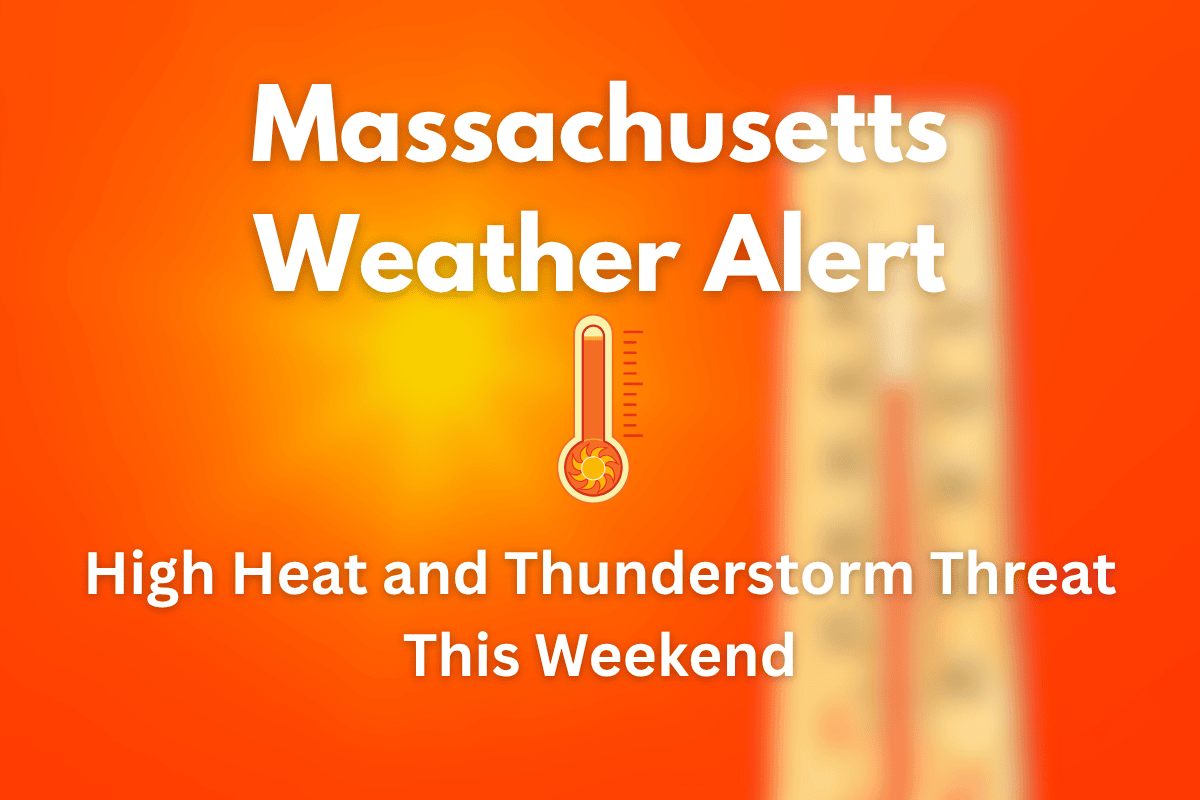
A tough weather weekend is ahead for Massachusetts, especially in areas like Boston, Quincy, and Woburn. The National Weather Service has issued warnings for both heat and storms.
Starting Saturday, the weather will become dangerously hot, and scattered thunderstorms are expected in the afternoon. With highs around 94°F and high humidity, it could feel like 100°F or more by the afternoon.
Saturday: Thunderstorms Meet Dangerous Heat
On Saturday, the day will begin warm and turn even hotter as the hours pass. Heat index values—how hot it feels with humidity—could reach near triple digits.
The worst time to be outside is from 1 p.m. to 6 p.m. when heat stress is highest. Thunderstorms may pop up later in the day, bringing strong winds, heavy rain, and even short power cuts in some places.
If you are traveling along Route 1 or I-93, be cautious as sudden weather changes may affect visibility and road conditions. Make sure to drink lots of water and take breaks if you’re working outdoors.
Sunday to Tuesday: The Core of the Heat Wave
The most extreme heat will hit between Sunday and Tuesday. Sunday’s high will reach 94°F, and by Tuesday, temperatures could hit 100°F, with a heat index above 110°F. This type of heat can be dangerous, especially for children, elderly people, and anyone working or exercising outdoors.
An Excessive Heat Watch is in place from Sunday morning through Tuesday evening. You should check your fans or A/C units now, keep extra water on hand, and avoid long outdoor exposure. If you don’t have air conditioning, try to spend time in public places like malls or cooling centers.
Relief in Sight by Thursday
The high heat is expected to ease a little by Thursday when showers are forecast to return. This might cool things down for a short while. Until then, the focus should be on staying safe in the heat and being prepared for possible storm impacts.
Boston Area 5-Day Weather Forecast
Friday: Mostly clear skies, high around 83°F. Wind Advisory in place until 6 p.m.
Saturday: Hot and humid with a high of 87°F. 30% chance of late-day storms.
Sunday: Excessive Heat Watch begins. High around 94°F.
Monday: Even hotter with highs again at 94°F; heat index over 110°F possible.
Tuesday: Sunny and scorching at 100°F. Dangerously hot weather continues.
Massachusetts is heading into a very hot and stormy weekend. Starting Saturday, a mix of high heat and scattered thunderstorms may create risky conditions, especially along busy roads like Route 1. From Sunday through Tuesday, the heat will be at its worst.
Stay indoors if you can, drink lots of water, and keep up with the latest weather alerts from the National Weather Service in Norton. Relief may come by Thursday, but until then, it’s essential to take heat safety seriously and prepare ahead.


