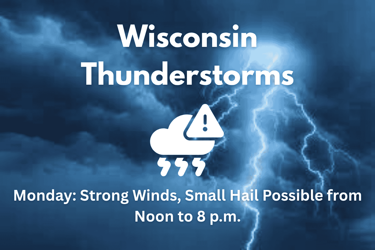
On Monday, thunderstorms are expected to move through much of Wisconsin between noon and 8 p.m., bringing damaging winds and the possibility of small hail. These storms will travel from west to east, with the greatest risks in central and northeast Wisconsin.
Storm Details
The National Weather Service (NWS) in Green Bay has predicted that winds up to 60 mph and hail up to 1 inch in diameter could impact cities like Eau Claire, Wausau, and Green Bay during the afternoon hours, including the afternoon commute. As the storms develop along a cold front, they are expected to strengthen, particularly by 4 p.m., when the storms will move through Madison, Oshkosh, and Sheboygan. This could lead to disruptions on major highways such as I-39, I-41, and U.S. 151.
Impact on Travel and Safety
While tornadoes are not expected, the NWS advises residents to stay alert for weather alerts and be aware of where to seek shelter if necessary. The storms may cause power outages, downed tree branches, and localized flooding, especially in low-lying areas or urban locations. It is essential to keep phones charged and have weather radios nearby to stay updated on any new warnings.
Storm Timing
The thunderstorms are expected to clear the state by 8 p.m. However, the NWS warns that additional advisories could be issued as they continue to monitor the storm’s development and strength.
Residents of Wisconsin should remain prepared for a day of potentially disruptive weather on Monday. With strong winds, the possibility of hail, and travel impacts on major highways, it’s important to stay informed and take safety precautions as needed. Make sure to follow local weather alerts throughout the day to stay safe.


