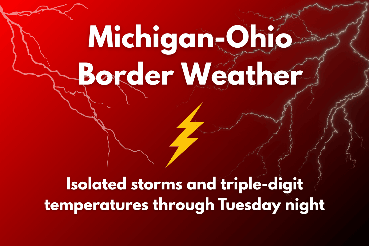
Residents along the Michigan-Ohio border are facing extreme heat and scattered thunderstorms today, with the weather continuing through Tuesday night. The heat is particularly intense, with temperatures in the Detroit metro expected to reach the mid-90s, while heat indices could climb to dangerous levels, as high as 105°F. Along with the heat, isolated thunderstorms are also expected, and severe weather could bring damaging winds and flooding.
Extreme Heat and Heat Advisory in Effect
An Extreme Heat Warning is in place for counties like Oakland, Wayne, Macomb, and Genesee, while a Heat Advisory is covering areas from Monroe to Livingston. These warnings highlight the intensity of the heat, making it crucial for residents to stay safe during the hottest parts of the day.
The National Weather Service has emphasized that people should avoid outdoor activities during peak heat hours and should use air conditioning when possible. Staying hydrated and checking on vulnerable neighbors is also important.
Storm Risks and Severe Weather
In addition to the extreme heat, thunderstorms are expected to develop as a slow-moving cold front moves south across the region. These storms can bring heavy rain, localized flooding, and strong winds of up to 60 mph.
The greatest storm risk area extends from Ann Arbor to the Ohio border and along the I-696/96 corridor. There is also a risk of standing water on roads, especially in lower areas. If you’re traveling in these regions, it’s important to stay alert for hazardous driving conditions.
Nighttime Shift in Storm Activity
As the day progresses into Tuesday night, the storm risk will shift south of the I-696/96 area. However, thunderstorms are expected to continue near the Michigan-Ohio border. It’s important to stay updated on the weather as additional weather warnings and watches may be issued overnight.
Stay Prepared and Stay Safe
With the combination of extreme heat and severe thunderstorms, it’s essential to stay prepared. Avoid prolonged outdoor exposure during the hottest parts of the day, use air conditioning, and stay hydrated.
Make sure your home and car are safe for your children and pets, as hot weather can be dangerous for them. Be cautious while driving, especially in areas prone to flooding.
Thunderstorms could cause flash flooding and debris on roads, so driving at night could present additional challenges. Keep an eye on the weather and remain aware of any new warnings.


