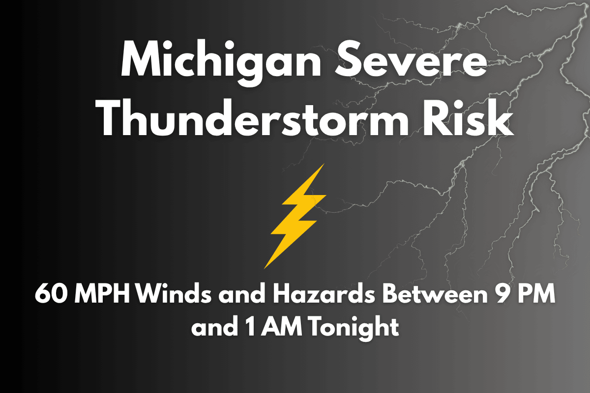
Traverse City, Michigan – Severe thunderstorms are set to impact northwest Lower Michigan tonight, bringing wind gusts of up to 60 MPH and the possibility of power outages, downed trees, and dangerous driving conditions. The storm will affect areas including Traverse City, Gaylord, Alpena, and Escanaba between 9 p.m. and 1 a.m. Tuesday.
Key Weather Concerns: High Winds, Rain, and Possible Flooding
The National Weather Service in Grand Rapids has issued a Level 2 “Slight Risk” for severe weather, indicating that while widespread severe conditions are not expected, localized hazards like heavy rain, strong winds, and frequent lightning are likely.
Wind gusts reaching up to 60 MPH are the primary concern, but small hail and the possibility of an isolated tornado are also in the mix, particularly in areas like Emmet, Charlevoix, and Cheboygan counties.
The storms will bring intense rainfall, which could cause localized flooding in low-lying and poorly drained areas. Roadways like US-131 and M-32 could become slick due to rain and wind, creating hazardous conditions for drivers. If possible, residents are urged to avoid travel during the storm window, which lasts from 9 p.m. to 1 a.m.
Preparation and Safety Tips
Residents in affected areas should prepare for the storm by securing any loose outdoor items that could become dangerous in high winds. It’s also wise to charge your phones in case of power outages and make sure you have a flashlight or backup lighting available.
If you’re planning to be outside, stay alert to rapidly changing conditions and seek shelter indoors if necessary.
This is the most significant severe weather risk the region has faced this month, following an unusually dry June. The dry conditions make it more likely for rain to accumulate quickly, increasing the potential for urban flooding.
What to Expect After the Storm
The storms are expected to move out of the area before dawn, but additional advisories could be issued depending on how the situation develops overnight. Stay updated on weather alerts and follow any guidance from local authorities.
Five-Day Forecast for Traverse City, MI (June 23–28)
| Day | Weather | High Temperature | Low Temperature | Additional Information |
|---|---|---|---|---|
| Tuesday, June 24 | Severe thunderstorms, gusty winds, and heavy rain expected from 9 p.m. to 1 a.m. | – | 64°F | – |
| Wednesday, June 25 | Partly cloudy | 82°F | – | – |
| Thursday, June 26 | Sunny and warm | 85°F | – | – |
| Friday, June 27 | Mostly sunny | 87°F | – | – |
| Saturday, June 28 | Possible scattered storms in the evening | 83°F | – | – |
Storm Safety and Preparedness
With severe thunderstorms expected tonight, it’s crucial for residents to take proper precautions. Stay indoors during the storm, secure outdoor objects, and avoid travel if possible. Ensure your emergency kit is ready, and stay informed about ongoing weather alerts.


