Severe weather is expected to impact the Tampa Bay area in Florida this Wednesday, bringing with it thunderstorms that could cause hazardous conditions. From gusty winds to the risk of hail, residents should prepare for possible disruptions.
The National Weather Service has issued a warning for areas from Brooksville to Naples, where severe thunderstorms are most likely to develop between 3 p.m. and 10 p.m. Read on to learn more about the potential impacts and how you can stay safe.
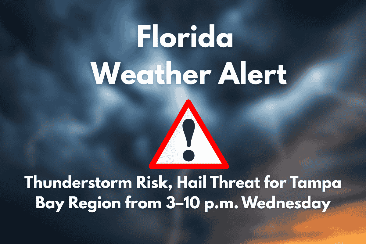
Severe Thunderstorm Risk
The National Weather Service has issued a Marginal Risk (Level 1 of 5) for severe thunderstorms across west-central and southwest Florida. The storm threat will begin at 3 p.m. and last until 10 p.m. on Wednesday.
Areas including Tampa, St. Petersburg, Sarasota, Fort Myers, and Cape Coral are most likely to be affected. The main threats include strong winds over 40 mph, dangerous lightning, and the possibility of hail up to 1 inch in diameter.
Hazardous Weather Conditions
Motorists in the affected areas, especially during the evening commute, should be cautious of rapidly moving storms that could bring heavy rain and strong gusts of wind. The storm could also bring hail that could damage vehicles and property.
The powerful wind gusts have the potential to bring down tree limbs, disrupt power lines, and cause flooding on the roads. If you’re driving, avoid flooded streets and stay alert for sudden wind bursts.
Plan Ahead for Outdoor Activities
If you have outdoor plans, it’s recommended to bring them indoors by mid-afternoon, particularly along areas like I-75 and U.S. 41, which are known for being more prone to storms. As the thunderstorms develop quickly, it’s important to stay informed, as local warnings could be issued if conditions worsen. These thunderstorms are typical for Florida’s summer season, but the risk for hail and severe winds adds an extra layer of concern.
Storms Begin to Fade After 10 p.m.
The storm threat is expected to decrease after 10 p.m., although scattered storms could continue throughout the week. By late Wednesday evening, the risk for hail and severe winds should subside, but residents should remain aware of weather updates in case conditions change.
Severe thunderstorms will impact Tampa Bay on Wednesday, with potential hazards including strong winds, lightning, and hail. These storms could disrupt your commute and outdoor plans, so it’s important to stay prepared. Monitor weather updates throughout the day, and be sure to take necessary precautions to stay safe. The threat will ease by 10 p.m., but more storms could develop later in the week.


