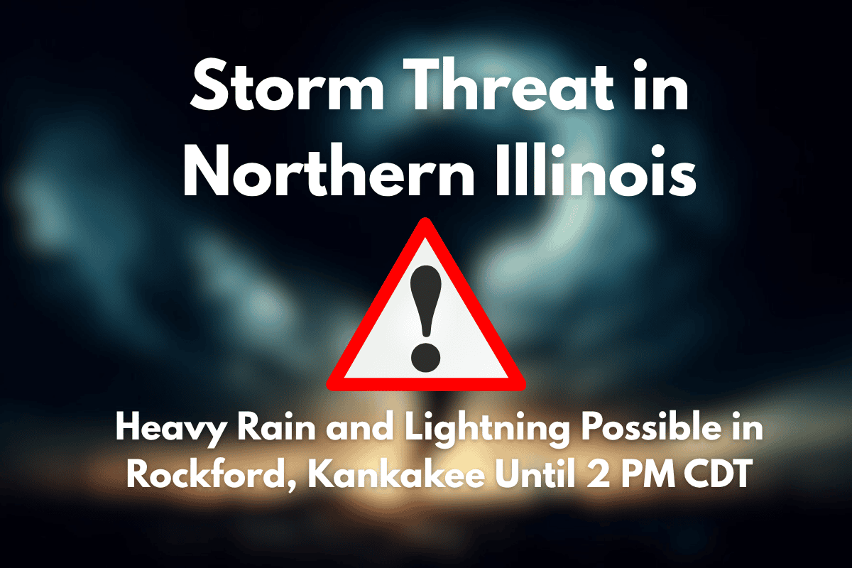
Northern Illinois is facing isolated thunderstorms that could disrupt travel and cause hazardous conditions through 2 p.m. Tuesday. Areas like Rockford, Kankakee, and Chicago are at risk of torrential rainfall, strong winds, and lightning. These storms could create dangerous road conditions and potential flooding, so it’s essential to stay informed and take precautions.
Storm Development and Risks
The National Weather Service in Chicago has indicated that storm potential is increasing in northern Illinois, with cumulus clouds forming in two key zones on satellite imagery.
If these storms develop, they will move northeast at around 30 mph, impacting areas within a yellow-dashed region on radar, including Chicago, Rockford, and Kankakee. Drivers in these areas can expect slower travel times due to heavy rain and reduced visibility.
The strongest storms may produce wind gusts strong enough to down tree limbs or move unsecured outdoor items. Torrential rainfall could lead to temporary flooding, particularly on poorly drained or low-lying roads, such as those in Peru and Rensselaer.
Safety Precautions
As the storms approach, residents are advised to take safety precautions. The first sign of thunder should be a signal to move indoors and avoid outdoor activities.
If you are on the road, it’s crucial to avoid driving through flooded areas, as water levels can rise quickly and make travel dangerous. Drivers should also be cautious of reduced visibility due to heavy rain.
Additionally, power outages are possible with these storms, so it’s a good idea to keep your mobile devices charged and stay updated on local weather alerts. Monitoring alerts through the afternoon will help you stay informed about the developing situation.
The storm threat in northern Illinois is expected to taper off by mid-afternoon, but the risk of additional storm development remains later in the evening. Stay alert, stay indoors at the first sound of thunder, and be prepared for potential power disruptions and temporary flooding.


