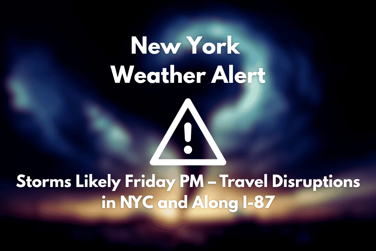
New York, NY – Afternoon plans in New York City could be disrupted Friday as storms roll in after 5 p.m., prompting a summer weather alert for commuters and weekend travelers.
According to the National Weather Service, there is a 50% chance of showers and thunderstorms late on Friday, particularly after 5 p.m. Winds from the east at 5 to 10 mph could shift during the heavier storms. While severe weather is not expected, ponding on roads like I-87 and FDR Drive could slow traffic during the evening rush.
What to Expect from Friday’s Weather
The risk of storms will taper by early Saturday, but another round of thunderstorms is likely after 2 p.m. on Saturday, with a 50% chance of precipitation under mostly cloudy skies. Temperatures on Saturday will hover near 78°F, which is slightly cooler than Thursday’s peak of 83°F.
Looking Ahead to the Weekend and Beyond
Sunday will provide a temporary break, with mostly dry conditions and a high near 79°F. However, more summer storms are expected on Monday and Tuesday, both with a 60% chance of rain and potential thunderstorms in the afternoon. Temperatures will trend in the low-to-mid 80s through early next week, with humid conditions continuing to build.
If you’re planning to be outdoors this weekend, it’s a good idea to keep mobile alerts on and have backup plans for parks, events, or beach trips. The NYC heat index could rise as humidity builds into next week.
Five-Day Forecast for NYC (June 26–July 1)
| Day | Weather | High Temperature | Additional Information |
|---|---|---|---|
| Thursday (June 26) | Chance of storms after 2 p.m. | 83°F | – |
| Friday (June 27) | 50% chance of storms after 5 p.m. | 68°F | – |
| Saturday (June 28) | Storms possible after 2 p.m. | 78°F | – |
| Sunday (June 29) | Mostly cloudy and dry | 79°F | – |
| Monday (June 30) | Storms likely after 2 p.m. | 84°F | – |
| Tuesday (July 1) | 60% chance of storms | 84°F | – |
Storms are expected to disrupt Friday afternoon and evening in New York City, with travel delays and wet conditions likely on major routes like I-87 and FDR Drive. After a brief dry period on Sunday, the storm risk will return early next week. Stay tuned for updates and keep mobile alerts handy if you have plans outdoors.


