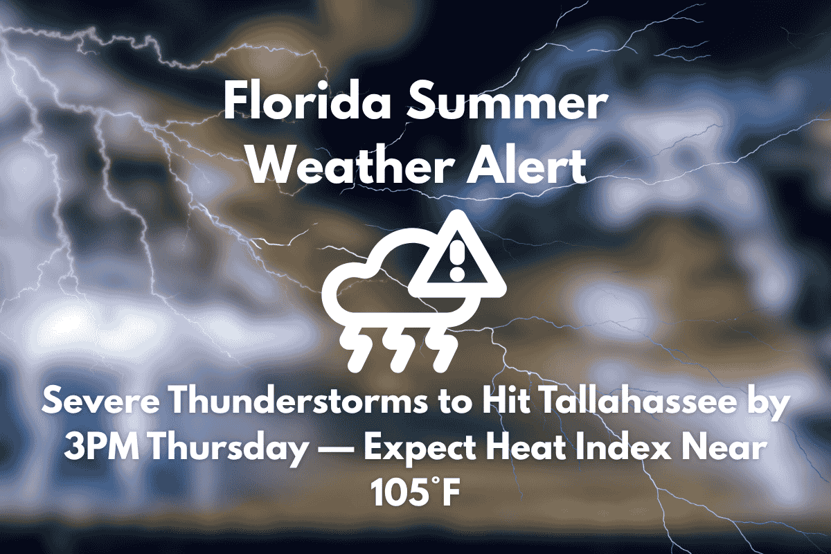
Tallahassee, FL – Severe thunderstorms are expected to hit the Tallahassee region by 3 p.m. Thursday, bringing heavy rain, dangerous wind gusts, and steamy heat. Residents in Leon County, as well as drivers along U.S. 319 and I-10, should prepare for rapid weather changes during the afternoon commute.
According to the National Weather Service, storm chances increase sharply after 3 p.m. Thursday, with a 60% chance of showers and thunderstorms. Some storm cells may become severe, bringing damaging winds and intense lightning.
The heat index will rise to 105°F, significantly increasing the risk for heat-related illnesses during the peak afternoon hours. Winds from the south at 5 mph will shift westward by evening as the storms exit the area.
What to Expect
Tallahassee will experience another round of storms Friday afternoon, with rain chances reaching 70%. A warm and humid pattern will persist through the weekend, with daily thunderstorm risks and highs in the low 90s. Afternoon downpours may lead to ponding on roads and disrupt weekend events.
Looking Ahead to the Weekend
Warnings remain in effect through Friday night, and additional advisories may be issued as this summer storm pattern lingers. The combination of heat and storms means conditions may be unpredictable, so it’s important to stay prepared.
Five-Day Forecast for Tallahassee, FL (June 26–30)
| Day | Weather | High Temperature | Additional Information |
|---|---|---|---|
| Wednesday (June 26) | PM storms, heat index up to 106°F | 94°F | – |
| Thursday (June 27) | Strong storms likely after 3 p.m. | 94°F | – |
| Friday (June 28) | Storms likely by 2 p.m. | 90°F | – |
| Saturday (June 29) | 80% chance of storms after 2 p.m. | 91°F | – |
| Sunday (June 30) | Storms continue, 80% chance of rain | 91°F | – |
Tallahassee is set to face another round of severe thunderstorms Thursday afternoon, followed by a warm and humid weekend with ongoing storm risks. Stay prepared for heat and heavy rain, and be aware of potential travel disruptions.


