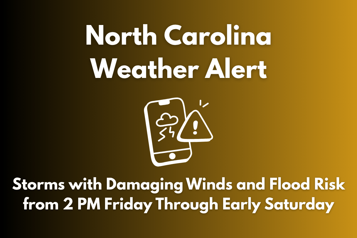
Severe thunderstorms are set to impact central North Carolina beginning at 2 p.m. Friday, bringing damaging winds and a risk of localized flooding into early Saturday. These storms may disrupt travel and outdoor activities, particularly during the evening hours.
Timing and Impact of Storms
According to the National Weather Service in Raleigh, a marginal risk (Level 1 of 5) for severe weather is in effect through the overnight hours, with the primary concern being downburst winds.
Areas along and east of I-95, including cities like Rocky Mount, Henderson, and Goldsboro, are expected to receive the heaviest rainfall. Torrential downpours could lead to localized flooding, particularly in low-lying or poor-drainage areas.
Risks to Expect
Residents in cities like Raleigh, Fayetteville, and Roanoke Rapids should be alert for quick-hitting storms during the late afternoon and evening commute, with heavy rain, gusty winds, and the possibility of minor power outages.
Although the tornado threat remains low, winds up to 40–50 mph and saturated ground could cause downed branches and power outages. Emergency officials recommend securing outdoor items and avoiding travel during peak storm activity.
Storm Duration and Additional Alerts
The storms are expected to linger until around 6 a.m. Saturday, with weather conditions potentially worsening overnight. Additional weather alerts may be issued if conditions intensify. Residents are urged to stay weather-aware and monitor local advisories.


