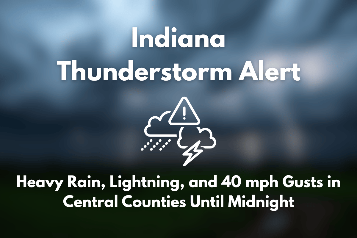
Scattered thunderstorms are moving slowly eastward across central and southeastern Indiana this evening, bringing the risk of localized flooding, lightning, and strong wind gusts of up to 40 mph. The National Weather Service in Indianapolis has issued a warning for these storms, which are expected to continue until midnight, primarily affecting areas south and east of Indianapolis.
Thunderstorms Affecting Central and Southeastern Indiana
Monroe, Bartholomew, Decatur, and Ripley counties are likely to experience the heaviest rainfall and most persistent lightning activity. As of 10:30 p.m., radar showed slow-moving storm cells over Columbus, Greensburg, and Brookville, with additional showers approaching from areas near Jasper and Bedford.
Due to the slow movement of these storms, localized flooding is a concern, particularly in low-lying areas or regions with poor drainage.
Risks and Safety Recommendations
Motorists should exercise caution on major highways like I-65, I-74, and US-50, as ponding on the roads could create hazardous conditions. Lightning risk remains high, so outdoor activities should be suspended until the storms pass. Wind gusts of up to 40 mph could also bring down small branches or cause brief power outages.
The storms are expected to weaken after midnight, but additional updates and warnings may be issued if new cells develop.


