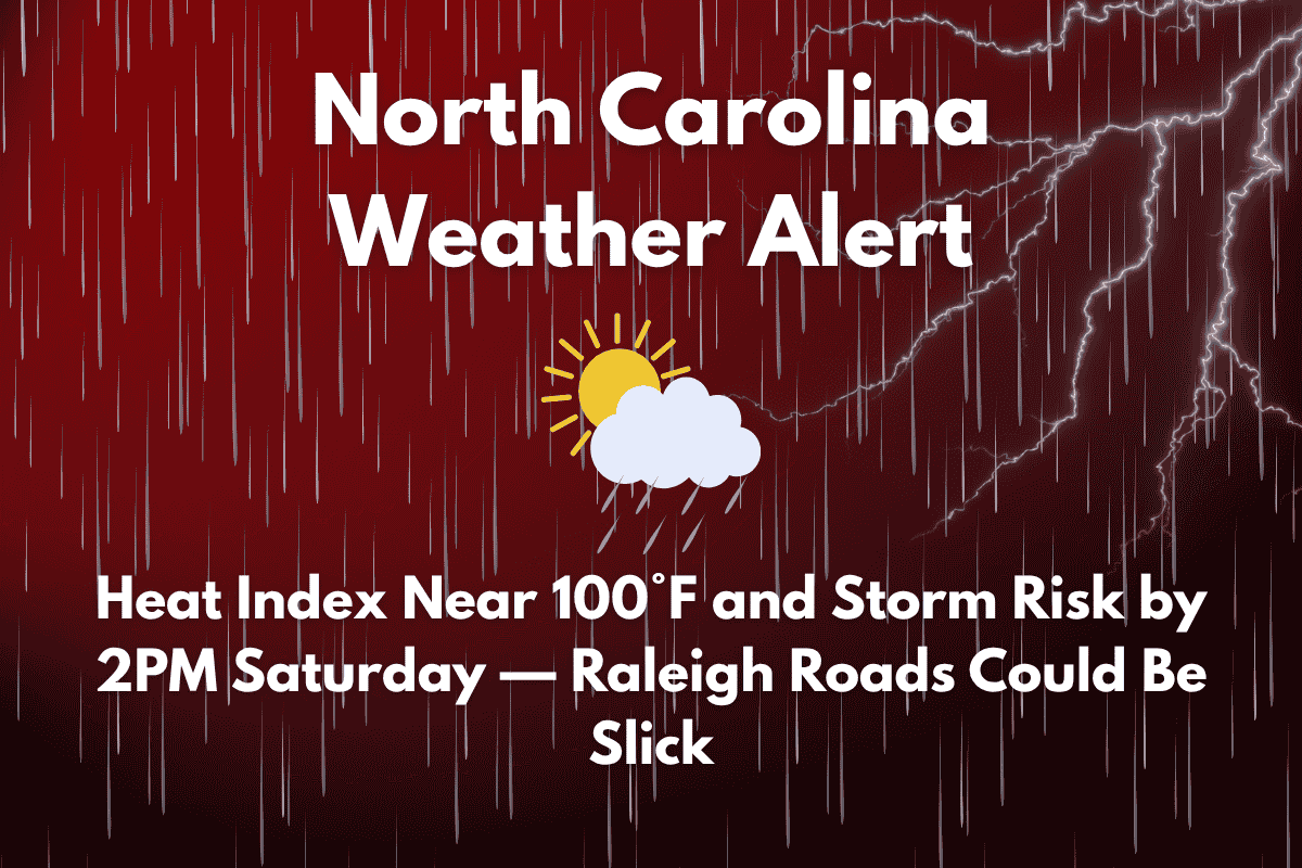
Scorching heat and pop-up thunderstorms are expected to disrupt weekend plans across central North Carolina, with temperatures reaching near 100°F on Saturday afternoon. The National Weather Service in Raleigh has issued a Hazardous Weather Outlook for the weekend, highlighting the risk of heat exhaustion and potential travel hazards due to brief thunderstorms and slick roads.
Heat and Storm Risks for Saturday
On Saturday, mostly sunny skies will give way to a 30% chance of showers and thunderstorms starting after 2 p.m. The high temperature will reach around 95°F, but the heat index could make it feel like 100°F, particularly across Wake, Durham, and Orange counties. This combination of heat and humidity could lead to heat exhaustion, so it’s important to limit outdoor activities during the hottest part of the day.
Thunderstorms will bring brief downpours, and rain could create slick spots on major roads, including I-40 and U.S. Route 1. Drivers are advised to slow down and watch for wet pavement, especially in construction zones or areas prone to pooling water. These storms are expected to be scattered, with the heaviest activity occurring in the afternoon.
Sunday and Monday Weather Outlook
The pattern will repeat on Sunday, with mostly sunny skies early and a 30% chance of storms after 2 p.m. High temperatures will reach around 95°F, and like Saturday, humidity will remain high. Drivers should be cautious on the roads, as brief heavy rain could cause localized ponding, and lightning may disrupt outdoor activities such as sports events or gatherings.
On Monday, expect a mostly sunny day with a high of 94°F. The heat and humidity will continue, but the storm risk will be lower until Tuesday, when another round of thunderstorms is possible.
Weather Pattern Into Early July
The start of July will bring more unsettled weather, with a 50% chance of storms on Tuesday, and the possibility of storms continuing into midweek. The high for Tuesday is expected to be around 93°F.
5-Day Raleigh, NC Forecast (as of Friday, June 27):
- Friday (June 27): High 96°F, 30% chance of storms after 4 p.m.
- Saturday (June 28): Mostly sunny, high 95°F, storms after 2 p.m. (30%)
- Sunday (June 29): Sunny early, 30% chance of storms after 2 p.m., high 95°F
- Monday (June 30): Mostly sunny, high 94°F
- Tuesday (July 1): 50% chance of storms, high 93°F


