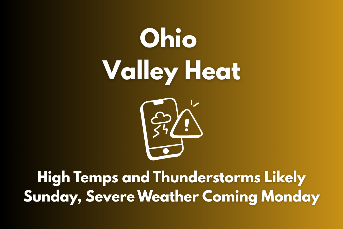
Wilmington, OH – The Ohio Valley is facing a combination of heat, thunderstorms, and severe weather over the next two days. As temperatures rise, many areas could experience heat index values of 95°F or higher, with scattered thunderstorms expected and the potential for severe weather on Monday evening.
What to Expect on Sunday
According to the National Weather Service, maximum heat index values are expected to reach the low-to-mid 90s across the region. Cities like Dayton, Columbus, and Cincinnati may feel as hot as 96°F by 3 p.m. Sunday. Alongside the heat, thunderstorms are likely to develop, particularly in southern Ohio, where there is a higher chance of rain and strong winds.
Thunderstorms will be most prevalent in southern Ohio, with cities like Cincinnati and Portsmouth experiencing a 55% chance of rain. Further north, cities such as Dayton and Wilmington will see a 46% to 56% chance of rain, while areas like Celina and Kenton will have a slightly lower likelihood of precipitation.
Severe Weather Risks for Monday
The risk of severe weather will increase by Monday. The National Weather Service is warning of strong winds, damaging hail, and the possibility of isolated tornadoes as a cold front moves through. These conditions are expected to escalate by 8 p.m. Monday, with more hazardous weather affecting the Ohio Valley through the evening.
Safety Tips
As the heat and storms move through, it’s essential to stay hydrated and limit outdoor activities, especially between 12 p.m. and 4 p.m., when the heat will be most intense. Be prepared for rapidly changing weather conditions, particularly as severe storms develop later on Monday. Keep an eye on local weather alerts and be ready for possible disruptions.
Sunday’s weather will bring hot temperatures and thunderstorms across parts of the Ohio Valley, with highs around 96°F in some cities. On Monday, the severe weather risks will increase, bringing strong winds, hail, and the potential for isolated tornadoes. Be sure to stay informed, take the necessary precautions, and monitor weather updates as the storm system develops.


