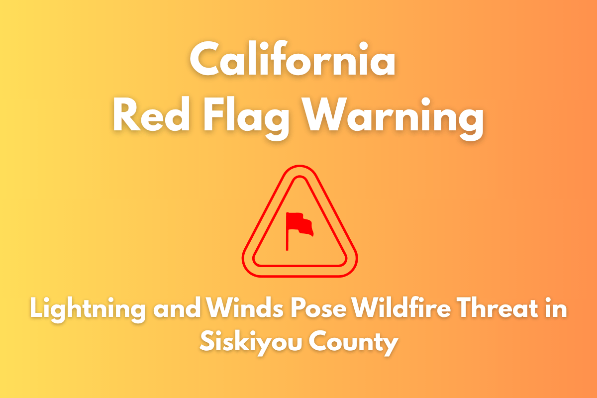
Yreka, California – The risk of wildfires will spike across Siskiyou County starting Monday afternoon, as dry lightning and strong winds move into the region, triggering a Red Flag Warning from 2 p.m. to 8 p.m..
Wildfire Risk Due to Dry Lightning and Gusty Winds
According to the National Weather Service in Medford, critical fire weather conditions are expected to impact areas like the Western Klamath National Forest, Shasta Valley, and the Mount Shasta region. A Fire Weather Watch has also been issued for Tuesday afternoon and evening as more thunderstorms—some of them dry—are likely to develop.
Fire Threat from Isolated Thunderstorms and Gusty Winds
Isolated thunderstorms could start Monday afternoon, and these storms could ignite new wildfires on the parched terrain of the region. Gusty winds reaching up to 35 mph could help spread flames quickly. These outflow winds—winds that occur when storm systems collapse—could carry fire conditions up to 50 miles from the storm’s origin.
Residents near Highway 97, Interstate 5, and the town of Weed are urged to stay alert and avoid outdoor activities that could spark a fire. Emergency officials recommend that people pack their go-kits now and check local fire restrictions in preparation for potential evacuations.
Dry Lightning a Major Concern
A major concern for both Monday and Tuesday is the threat of dry lightning, where lightning strikes occur without accompanying rain. This type of lightning can ignite fires on dry land, especially in areas that have seen little rain recently. Conditions could deteriorate quickly, making it essential for residents to stay prepared and vigilant.
The Red Flag Warning for Siskiyou County will remain in effect until 8 p.m. Monday, with the possibility of additional warnings if the situation worsens. Another round of thunderstorms and wildfire risks is expected Tuesday afternoon and evening. It’s crucial for residents to stay informed and ready for any sudden changes in conditions.


