The Missouri-Kentucky border region is about to experience a hot and humid stretch of weather, with dangerously high heat index values expected to climb up to 105° through the Fourth of July weekend. Temperatures will rise steadily, making it feel much hotter than the actual air temperature.
While the sunny weather will make for great holiday plans, residents should be cautious of the heat, especially during peak hours. Thunderstorms may return by Sunday, offering some relief but also bringing potential flooding risks.
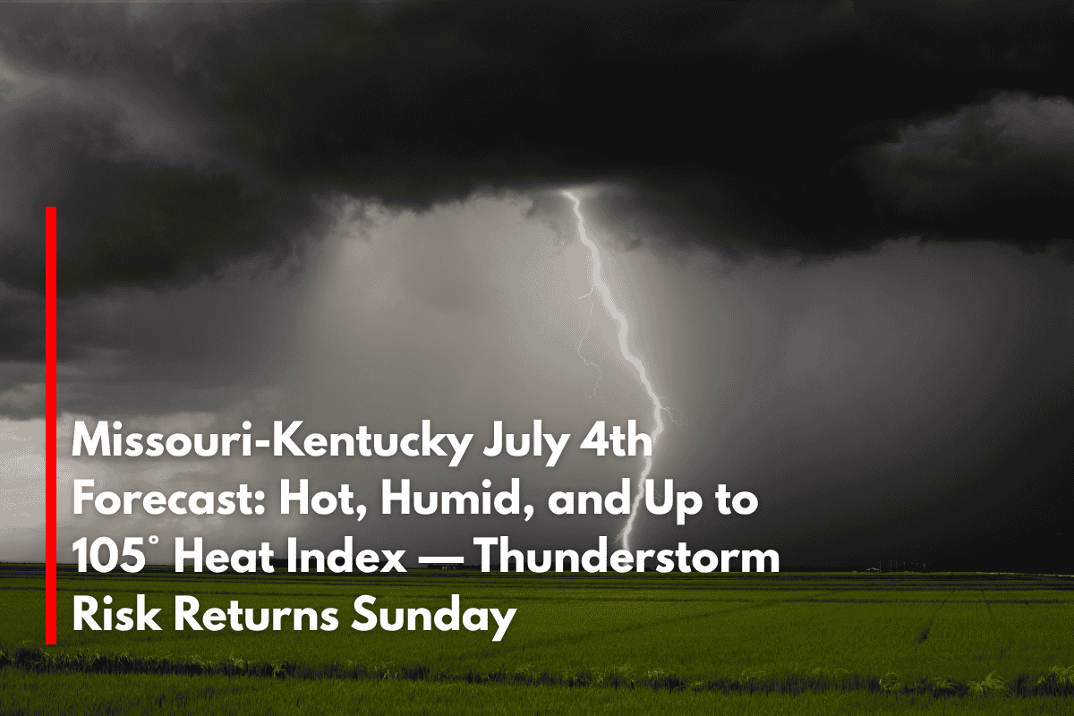
Hot and Humid Weather for the Fourth of July
According to the National Weather Service in Paducah, residents will feel the heat as early as Thursday, with highs ranging from 88° to 93° and heat index values topping out between 92° and 98°.
The oppressive humidity, with dew points creeping into the 70s, will make it feel much hotter than the thermometer reads. By Friday, Independence Day, the heat and humidity will continue to climb, with highs ranging from 89° to 93° and the heat index approaching 100° in some areas like Paducah, Mayfield, and Cape Girardeau.
Hydration and Safety Tips
Residents planning to celebrate the Fourth of July outdoors should take extra precautions to stay safe in the heat. With heat index values hovering near 100°, it’s essential to hydrate regularly, limit outdoor activities during the hottest parts of the day (usually between noon and 3 p.m.), and check on vulnerable neighbors who may be more susceptible to heat-related illnesses.
If you’re heading out to watch fireworks or enjoy outdoor events, be sure to wear light, breathable clothing and use sunscreen to protect your skin.
Thunderstorm Risk Returns Sunday and Monday
After a hot weekend, the weather will begin to shift on Sunday, with a slight chance of thunderstorms in the afternoon, particularly in areas like Sikeston, Metropolis, and Benton.
The storm risk increases on Monday and Tuesday, bringing a greater chance of scattered thunderstorms and the possibility of localized flooding in some areas. While rain will be welcomed by those looking for a break from the heat, the storms could also bring brief but heavy rainfall, so stay alert for updates.
5-Day Forecast for the Missouri-Kentucky Border Region
| Day | Weather | High Temperature | Heat Index | Additional Information |
|---|---|---|---|---|
| Thursday | Mostly sunny | 88°–93° | 92°–98° | – |
| Friday (July 4th) | Hot and humid | 89°–93° | 95°–100° | – |
| Saturday | Sunny | 90°–95° | 98°–105° | – |
| Sunday | Slight storm chance | 90°–94° | 98°–104° | – |
| Monday | Scattered storms | 88°–92° | 92°–100° | – |


