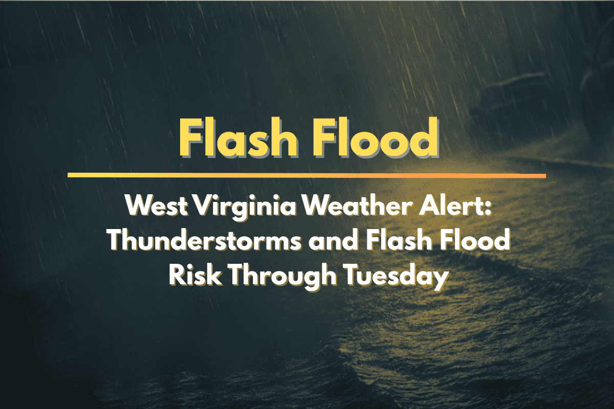
Thunderstorms are set to impact West Virginia on Tuesday, bringing the risk of heavy rainfall, gusty winds, and localized flash flooding. Areas from Charleston to the mountain counties should prepare for potentially hazardous weather, especially as a slow-moving front continues to affect the state.
Areas Affected and Weather Conditions
The National Weather Service in Charleston has issued a warning about an active weather pattern, with thunderstorms expected throughout the day. The chance of storms will range from 20-40% in the valleys to as high as 60% in the mountain elevations. While temperatures will reach the mid-80s in the lowlands, the higher elevations will see temperatures ranging from the upper 70s to low 80s.
What to Expect from the Storms
These thunderstorms could bring heavy rainfall that might lead to flash flooding, particularly in areas that have already seen multiple rounds of rain. The lowlands and mountain valleys will experience the highest risk for localized flash flooding, as the ground has already absorbed a significant amount of moisture.
Key roadways, such as I-64, U.S. 119, and various rural county routes, may see ponding and reduced visibility, making travel hazardous. Emergency management officials urge residents, especially those in flood-prone areas like Kanawha, Fayette, and Raleigh counties, to avoid driving through high water.
Storm and Flood Safety Tips
Residents are encouraged to stay alert and take necessary precautions:
Avoid driving through flooded roads, as even shallow water can stall your vehicle or sweep it away.
Have a flash flood plan in place, especially if you live in areas that are prone to flooding.
Charge devices in case of power outages due to gusty winds.
Keep an eye on local alerts for any new advisories or warnings.
When Will the Weather Improve?
This active weather pattern is expected to persist through midweek, with heavy rain continuing to saturate the ground and increase flood concerns. Flash flooding risks will remain elevated through Tuesday night, and additional advisories may be issued as the storm system lingers.


